Translate

Saturday, 22 February 2025

Walking from Wylam on a wet day

 Walking from Wylam on a wet day. February 21st

After a couple of weeks of low temperatures, overcast skies and cold wind from the east air is moving up from the south pushing up the mercury to the mid teens, and bringing rain. Hoping for some shelter five of us are out for a familiar walk from Wylam. 

Wylam was home to George Stephenson, father of the railways. A large village on the banks of the Tyne, west of Newcastle. 

The map to use is OS Explorer 316 Newcastle upon Tyne.

                     Wylam car park, plenty of space and free
               The car park is next to a dismantled railway line, now used by walkers, cyclists and horses. This useful device is to blow your tyres up.
Dressed for the promised showery day we set off west on the old railway, crossing the Tyne on the Hagg Bridge.

                                      Tyne from the Hagg Bridge.
Once across we followed the riverside path, firm and dry there was very little chance of slipping into the river. By the time we had reached Hagg Farm most of us realised we were overdressed. Because of the promised showers we kept waterproofs on but  sweaters went into rucsacs.
                   
                     The old pumping station on the north bank of the river. There is a new one under construction, taking water from the river to Whittle Dene reservoirs.
The path goes alongside the Spetchells, a mound of waste from a WW2 ammunitions factory at Prudhoe. Soon we were at the Prudhoe country Park and stopped for breakfast, a generous helping of bacon in the bun.

          Prudhoe Country Park mural. The thing on the left is for washing dogs.
Breakfast over and still enjoying a warm dry walk we crossed the railway at Prudhoe station, walked up to a road, turned left and followed a footpath which passed Prudhoe Castle and the industrial estates. A little muddy but dry still.
            Prudhoe Castle, 12th century home of the Umphravilles and the Percy family

Crossing a road we entered a wood walking a good track. A couple of felled tree trunks made good seats and we sat, if not in sunshine at least in dry conditions for a Herbie, at about 4.5 miles into the walk.
(Caramel tarts, two sorts of cookies and sweet and savoury from Mrs A)
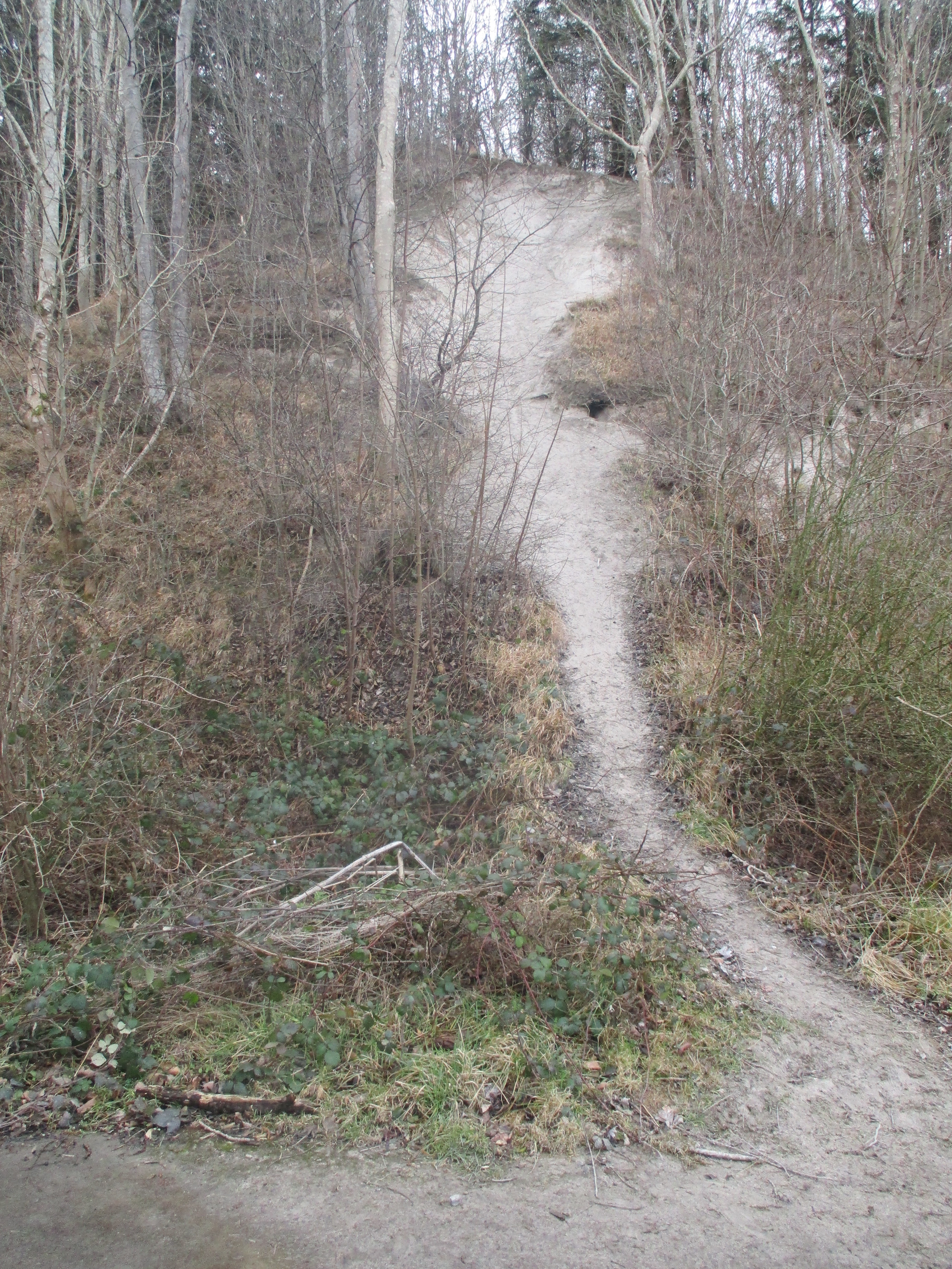
Once more on our way we crossed a road, walked through more woodland to a railway bridge. Almost immediately we were over the bridge we turned left on a footpath to reach a series of steep steps cut into the bank that took us down to a pond .
                     The pond at the bottom of the steps.
We crossed a field and were back on the Tyne path near Hagg Farm. We retraced our steps for a short distance before taking a right fork and following the road back towards Wylam station. At the junction where we could have turned left, passing the Boathouse pub and being back at the cars we decided that, as the weather was so pleasant (a few drops of rain at his point, but just a few) we would extend the walk and turned right, passing Daniel Farm which has a herd of deer, keeping out of the way today. 
We crossed the road, crossed a stile and crossed fields to reach a footpath through woodland above Bradley Hall Garden Centre.
                          Bradley Hall pond.
Reaching a road we turned right and after about 100 yards turned right again, passing the pond at Bradley Hall again, but much closer.


                         Bradley Hall Pond and inhabitants.
At the next junction we turned left, passed the Daniel Farm again, crossed the railway at Wylam station and were back at the cars.
We went to the nearby Fox and Hounds, TTL and zero alcohol Guinness.


Contains OS data, copyright. Crown copyright and database right 2025.
The walk is just over 9 miles easy going with a couple of climbs.
A recent study of weather apps  reported on their accuracy. Today the apps we use promised showers, in fact all we encountered was a few seconds of very light rain. A good day out, relatively warm and very dry!


"I'm a citizens for Boysenberry jam fan";  Punky's Dilemma by Simon and Garfunkel


Saturday, 15 February 2025

A walk in the park

 A walk in the park. February 14th.

Continuing the theme of walks with good tracks today we make a return to Hulne Park, large garden of the Duke of Northumberland, not to be confused with the Alnwick Garden.

Just north of the town of Alnwick, there are in the park, several marked walks, a tower and a priory to admire. 

A map is not necessary, you can download a leaflet complete with walks. Or use OS Explorer 332 Alnwick and Amble.

It is worth checking opening times for the park. Open to the public most days but occasionally closed for  various reasons. Opens at 11, closing seems dependent on the time of year

Go through the town, past the castle gate and on the left a short road leads to the park entrance. Parking is limited, on one side of the road only, or spend years in a dungeon.

On the way we stopped at the village of Swarland, just off the A1 and went to Nelson's for breakfast. The first reference to Swarland (O.E swar land = hard to plough land) is in 1242. Years later a manor house was built, now gone but Alexander  Davison, a friend of Admiral Nelson's lived there, hence the cafe name. In  the 1930's 77 new cottages were built, it's a new village.


                   Very busy cafe.

The walk:

                  
                                               Car parking just outside.
                     The entrance to the park; no vehicles, no cycles, no dogs
There are several well marked walks in the park, we started on Walk 3, strolling on the tarmacked road passing fields and hemmel for just over a mile before we turned left to walk uphill to Brizlee Tower.
                 Super hemmel. Used for storage and shelter for the animals, as you can see.

                     Brizlee Tower. Designed by Robert Adam and built in 1751 for the Duke of the day. Occasionally open to visitors. It does not lean
We followed the loop round the hill the tower stands on, passing the hermit before returning to the main park road.

                             The hermit.
There are fine views over the county from the hill:
                            A hint of snow on the distant Cheviot and Hedgehope.

                   And a distant view of Hulne Priory.
We followed the road past the farm at East Brizlee, crossed the River Aln and headed on to Hulne Priory where we stopped, sitting on a couple of felled trees for a Herbie. Chocolate Cookies from Ringtons, apple and blackcurrant pies, almond slices and scones and savoury from Mrs C.
                 Hulne Priory or Abbey. 13th century Carmelite priory. Maid Marion's House in Robin Hood, Prince of Thieves. 
Lunch among the snowdrops over we rejoined the road that follows close to the river on the north bank, passing Lady's Well.

                                    Lady's well.
Crossing the river  and sticking carefully to marked routes we climbed back to the main road near the entrance and were back at the cars.
On the way home we stopped at The Ridley Arms in Stannington, Wylam Gold.

              Almost impossible to read but this stone commemorates the capture of a Scottish king in 13th century. He was laying siege to Alnwick Castle, but failed. 

            Ignore the red wiggle at the start. My fault, not the GPS
Contains OS data copyright. Crown copyright and database right 2025.
The walk is about 8.5 miles, easy going with a couple of short climbs.
                               Often seen on Percy lands


                      The Percy graveyard near Brizlee Tower
                      The hermit's cave


                          February fair maids

                                  River Aln


Saturday, 8 February 2025

Tracking round Rothbury

 Tracking round Rothbury. February 7th

In an effort to keep on good tracks today's walk is a familiar one starting in Rothbury which has a large car park on the south bank of the River Coquet and a trendy cafe named Bewick's for a breakfast bacon butty.

The walk is covered by two maps: OL 42 Kielder and OS Explorer 332 Alnwick.

A team of ten, an embarrassment of cars, five, not exactly saving the planet but we all had our reasons. And the weather forecast promised us a cold dry day with an east wind offering some chill.

For regular readers, all three of them, this is a familiar car park.

Once ready we walked over the River Coquet using the footbridge. A few hundred yards up the street, next to the church we headed for Bewicks cafe to stoke up with bacon sandwiches, tea or coffee. 
                        Coquet from the footbridge, looking west.
The cafe is close to the church, All Saints. A Victorian building on the site of a pre conquest place of worship.
Once we had warmed up we set off west on the main street, taking the right fork at the first junction following the sign for Pondicherry, a string of houses named for a city in India that was controlled at different times by the Portuguese/Danes/ French? British/French/British/French and finally, in 1954 India. No idea why this hamlet is called Pondicherry perhaps someone stationed in India came home to Northumberland.
Beyond Pondicherry we followed a track for a short distance then a path across fields.

          Another opportunity for Dave to say "You can call me AL". I'm sure one of them muttered "And I can call you Betty".
After a couple of stiles we reached the Physic Lane and walked down to Thropton, crossed the Wreigh Burn, crossed the road and followed the Wreigh Burn to the footbridge over the Coquet.
From the river a footpath took us across fields to the road near Tosson. There, just before the hamlet, is a well preserved Lime Kiln and a couple of picnic benches so we called a Herbie, after only 3.2 miles.


Cherry Bakewells, almond slices, cookies, ginger biscuits lemon drizzle cake and sweet and savoury from Mrs A.
After the feast we walked past the few houses and the remains of the tower to a gate on the right.


Tosson tower, 14th C Next to it was a large car advertising a Mole Hunter. There seems to be more moles about this year.

The track through the gate  climbed steadily through woodland which had suffered in storm Ewon, longest uphill part of the day. Eventually we reached a junction, turned left and staying on a forest road came to a small car park and notice board.


Bonus car park today.

Staying on the forest track we soon reached the road and after a few hundred yards (at mile 6) went through a gate, through a wood and along a path to Whitton Hillhead and then Whitton Farm. From here we walked a good track, passing Dr. Sharp's philanthropic tower and finally reaching the car park.

                    Yes there is a tree growing on the roof.


      Contains OS data, copyright. Crown copyright and data base right 2025

The walk is about 8.5 miles. Easy going apart from the woodland climb! Great views.