Translate

Monday 29 July 2024

A walk on a summer's day.

A walk on a summer's day. July 28th.

For years we have breakfasted at Brockbushes Farm Shop and cafe on the Corbridge roundabout on the A69.

It has been demolished and rebuilt. We missed the grand opening on Saturday but have come along on Sunday morning to fuel up with bacon before a walk on what we are told is going to be a hot day. Five out today, me, Brian  Margaret,  John H. and Janice.


 Much larger, the farm shop has the look of an upmarket branch of Waitrose, the cafe area is inside a high building. The service is a little slow, teething troubles I expect.

Today's  walk starts from the Tyne Green Park in Hexham? Plenty of space, next to the river, and free. 

The walk is covered by OS OL 43 Hadrian's Wall


                       Parking at Tyne Green

Leaving the car park we walked towards the town, up the short steep hill to the square.


                  Hexham Abbey. The first Saxon church was built in 674 AD. Burned to the ground by Danish raiders the Abbey was rebuilt in the 12th century. 

We walked down the narrow shopping street to the main road, crossed over and headed up the hill next to the Victorian Tap pub. Climbing steadily we took the right fork, pointing to Juniper and after a few hundred nyards went through the gate on the left for Dipton Mill.
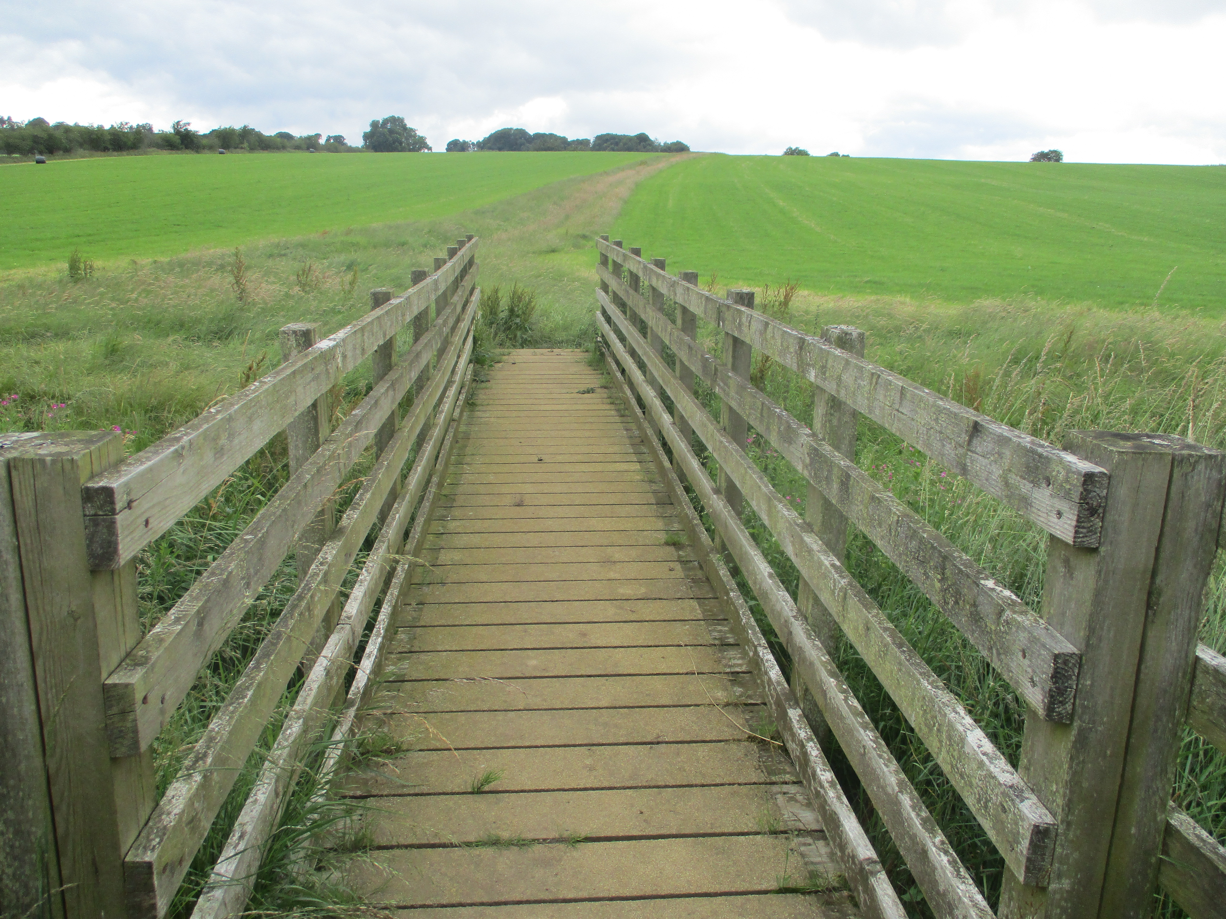

                             This way

The footpath crosses fields, clinbing steadily to a road, crosses it and then descends steadily to an overgrown path through a wood, eventually emerging at the Dipton Burn. More fields and a short stretch of road brought us to Newbiggin and after another short stretch of road on the Pennine Journey we went through the farm at Newbiggin Hall and walked through a wheat field. Finding some shade under a row of trees we called a Herbie (mile 4): Titans, cookies and , of course, sweet and savoury from Mrs A.


Turning north and crossing more fields we passsed Dotland Park and then, on a muddy farm track we made our way to the pub at Dipton Mill, It was a very hot day, cold drinks would have been welcome but, sadly, the pub had just closed for the day. 

After a short walk on the road we turned into Dipton Woods. Probably the muddiest woods in England, even in a dry summer, but eventually we reached the end, close to the Hexham Racecourse.


             Hexham Racecourse. Next meeting in October.

From here the road went downhill but as we approached the houses on the outskirts of Hexham we turned right at a finger post, walked through less muddy woods to the road leading back to Hexham and the car park.

On the way home we stopped in Wylam at the Fox and Hounds, Timothy Taylor's, tea and cold water.

Contains OS data, copyright. Crown copyright and database right 2024.

The walk is just over 10 miles, some climbing, some mud, some views.


                              The new Brockbushes


Saturday 27 July 2024

A walk in Weardale

 Walking from Westgate in Weardale. July 26th.

It's quite some time since the gadgies hit Weardale. Today a team of six plan a walk from Westgate to Rookhope. Westgate was the western boundary of the Bishop of Durham's hunting forest. Nearer home for him was the Eastgate boundary. And nearer home he had a hunting lodge, " Beau Repair", the ruin is called Bearpark. He was allowed his own army too.

Team: me, Brian  Margaret  John x2 and Harry

The area was exploited for minerals, much evidence remains.                                                     The walk is covered by OS Explorer 307 Consett and Derwent Reservoir.

There is a carpark in the village, the signpost difficult to see, hidden by foliage. We parked in a lay by.

A bit of a disappointment after last week's effort, but tell it as it is


Booted and gaiters we headed back east on the village street, turned first left and a short distance up the hill found the footpath on the left for Middlehope  Burn.A wooded valley with a stream tumbling down it is the prettiest part of the walk. A fairly gentle climb too.


                              The falls of Middlehope.
At the top of the wood we passed several reminders of the days of lead mining., mostly 19th century.


                  Mining remains. Mostly for lead.
Out of the valley we turned north east on a not very well marked footpath, crossing fields with unseen potholes and streams to Scarsike Head, a road junction.

                     Belted Galloway.
Again the path was difficult to find. Instead of heading to Wolf Cleugh as we couldn't spot a crossing we followed a barbed wire fence line, partially struggling through long grass until we reached a cut field and a fence to climb. Eventually having disturbed an assorted herd we got to the road alongside the Rookhope Burn. 
At the next road junction we turned right, crossed the burn and settled in the shelter of the bridge for a Herbie. (Apple pies, cookies and, of course, sweet and savoury from Mrs A)
              Another mining reminder. A bridge no longer going anywhere.
                            Rookhope Burn.
After a short walk on the road we struggled to find the paths through Lintzgarth, it's not well marked. Eventually we found a good track which is the Weardale Way, at least we found one of the alternatives near Rookhope.

Near Lintzgarth we came across these mobile homes waiting for a site.
Once on the Weardale Way we found the going quite easy, much of it appears to be on an old, very dismantled railway line, again probably left from mining times.
At Crow Cleugh we left the Weardale Way, and our planned route, to follow a Pennine Journey (Not the Pennine Way) across several fields, one with a rather large bull guarding his girls, until we came to Heights Quarry.

                    Heights Quarry, run by Aggregate Industries.
Fortunately the company have left a fenced footpath round the southern edge of the quarry. We followed it and then a signed footpath across several fields before taking the farm track down past Chester House to the Valley road.
Turning right we walked back to the cars, changed and headed for the Fox and Hounds in Wylam, arriving just as the Timothy Taylor's was running out and the last can of Zero alcohol Guinness was sold.
Contains OS data, copyright. Crown copyright and database right 2024

Our version is just over 10 miles, the original plan is just under 10 miles. Some climbs but generally easy going.


Monday 22 July 2024

The Greens go to Bolam

 The Greens go to Bolam. July 21

An extra walk with the Green walking group.  Not a political organisation, they are named for the gym they go to, and they have an organised walk every other Sunday.

We met at the main car park at Bolam Lake. From Newcastle head through Ponteland to Belsay, just beyond the village take the right and follow signs for Bolam Lake. Pass the first car park and turn into the second, which has a visitor centre, cafe and toilets. The cafe does a five star bacon sandwich and there are plenty of benches outside. The charge to park for a whole day is £4.50 which compares favourably with Craster Quarries £9 and Housesteads £10. And as for airports.....

The map to use is OS Explorer325 Morpeth and Blyth.

                    A contender for the calendar?

                      Cafe and shop at Bolam Lake

We took the footpath behind the toilets and walked through woodlands lit by a hot July sun. The path follows the perimeter of the park, passing areas that were cut down by storm Arwen. When we reached the road we turned right and avoided traffic for a short distance to Bolam West Houses.

                             Follow the finger post.
The track from Bolam West eventually becomes one laid with old concrete railway sleeper. At a small parking area we followed the wall on the right across fields until we reached Salters Nick.

          Salters Nick on an old drove road.
Once through we turned left and followed a boggy track, passing Shaftoe Grange, close to Shaftoe Crags and eventually made it to the Piper's Chair.

               The Piper's Chair. Tradition has it it was the site of a Shaftoe wedding, the bowl on top of the chair supposedly filled with wine. For us it made a good Herbie although Greens to not take part in exchanging goodies. But Mrs A had savoury and sweet offerings. And John had Bourbon creams.

Lunch in the sun over, although dark clouds were approaching we past  the hardly visible ancient fort and went on to East Shaftoe Hall.


                                                               East Shaftoe Hall.

Turning south we crossed fields. Still unable to pick out the line of the Devil's Causeway, a Roman road that cuts diagonally across the fields.

Turning left we followed a good track to Sandyford, the symmetrical farm.

                             Symmetrical Sandyford.
Just beyond the farm there is an unmarked footpath on the left which took us to the farm at Shortflatt Tower.
                Shortflatt Tower, an old pele  on the right
Through a gate near the new holiday homes, across fields and at the White Gate we were back at Bolam Lake. There is a car park at this point and a choice of paths. We took the one passing the wooden chairs and going round the north side of the lake back to the visitor centre.

                             Not the most comfortable seats.
On the way home we stopped at the Blackbird in Ponteland for a well earned rehydration. It had been a warm day.

               The Blackbird where it all began!

Contains OS data, copyright. Crown copyright and database right 2024
The walk is just under 7 miles, easy going with a few boggy bits, even in summer.