Oh little church of Rothbury. (Northumberland) December 3rd.
As we finished our walk last week (November 26 ) storm Arwen struck Scotland and the north of England. Winds up to 100 mph (160 km/h) caused damage to buildings, blew down power lines and uprooted thousands of trees, many of them in the plantations in Northumberland. A forestry spokesman on the local TV station advised walkers to stay out of forests. So today we are having a walk part of which is in the plantation on the north side of Simonside. Not to brave the damage but to see a cave with the name Little Church.
The walk starts from the Rothbury car park, south of the river. (A1, A697, turn off at Weldon Bridge for Rothbury. In the town turn left down Bridge Street to the large and free car park.
There are eight out today, Brian, Margaret, Harry, John H., John C., Ben John L. and me.
Rothbury is on the edge of two maps and so is the walk; OLOL 42 Kielder Water; OS 332 Alnwick.
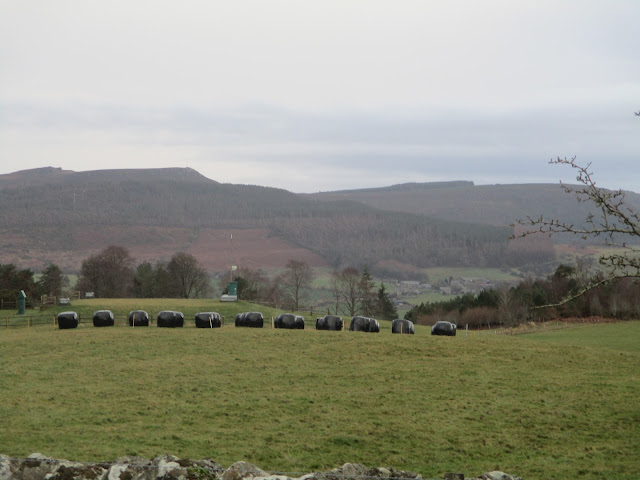
Rothbury car park, next to the Coquet, free.Leaving the car park we turned left towards the bridge and almost immediately turned right on a narrow road, part of St Oswald's Way, which eventually became little more than a track. we passed Sharps Folly:
Sharp's Folly.
We followed the track, crossing fields to Whitton Hillhead and on to the minor road from Great Tosson.
having crossed the road we entered the plantation and started our way along a forestry road.
After a few yards we came to the first tree that had been blown over across the track. And then some more;

More than just leaves on the track this time.
Having scrambled round or climbed over a dozen or so tree trunks, and having been tripped by brambles we decided it was too much of an effort struggling on and retreated to the road. Sadly this meant we would not visit the Little Church, leave it for a warm day in summer when the plantation roads have been cleared.
We walked along the road to Great Tosson, a collection of cottages and farms which were without power thanks to Arwen. One house had a generator, the rest were without lighting and it was a gloomy day. Tosson does have the remains of a tower too.
The ruins of Tosson Tower. A watchtower in the reiver days.
Moving on we decided to Lunch at the picnic tables close to Tosson Lime Kiln.
On the menu today. Soup for some, flapjacks, apple pies, two varieties of ginger biscuit, savoury buns and lemon cake from Mrs A. Tosson lime kiln, inside and out.Herbie time over we headed across the fields to the footbridge over the Coquet near Thropton, crossed it, headed along the footpath to the village where we turned right and took the footpath over the Wreigh Burn.
As soon as we were over the bridge we turned left and followed a muddy footpath alongside the burn until we reached a minor road. Turning right we soon joined anothe rminor road, crossed it and took the footpath across fields heading east before joining the track that is labelled Physic Lane. At the end of the track we came to a spot that has been frequently used as a Herbie Spot on walks along the Rothbury Terraces. It was decision time. Three of us decided to take the shorter route back along a track to Rothbury, the other five followed the tracks across the moors back to the town.
And then we went home, or to the Shoulder of Mutton in Longhorsely.
Look carefully and see the squiggle in the third square on the bottom row. This is where we battled fallen trees before surrendering.The planned route. Little church is in the second square on the bottom row.
Both maps: Contains OS data, copyright. Crown copyright and database right 2021.
The shorter walk was 8.6 miles, the longer version about 11.


No comments:
Post a Comment