The Simonside circular. (Northumberland) Dec 1st
MUD WARNING
The first day of December, cold but dry. Four of us, Brian, Margaret, Dave and I are off for a walk round Simonside starting, and finishing in Rothbury. (A1 north, A697 at Morpeth and turn left at Weldon Bridge. In Rothbury turn left down Bridge Street, cross the river and turn right into the large and free car park.
The map for the walk is OS OL 42 Kielder Water and Forest.
Such a classy car park I thought it deserved two photos This is Donald Mr and Mrs Mallard and a bachelor uncle.
We left the car park and turned right on the road at the gates at Whitton we turnedleft and walked uphill past Sharps Folly.
Sharpe's folly as it is labelled on the OS map, or Sharp's folly as Pevsner* calls it. Built in the 1720's by the local vicar, Archdeacon Thomas Sharp partly for employment for the locals but perhaps so he could indulge in two of his hobbies, astronomy and astrology.Not far beyond the folly is a finger post by a farm gate. We went through the gate and walked a footpath across Garleigh Moor. Not too muddy and eventually morphing into a track passing cairns and a fort until we reached the car park at Lordenshaws. There are cup and ring marks in the area too but we didn't stop.
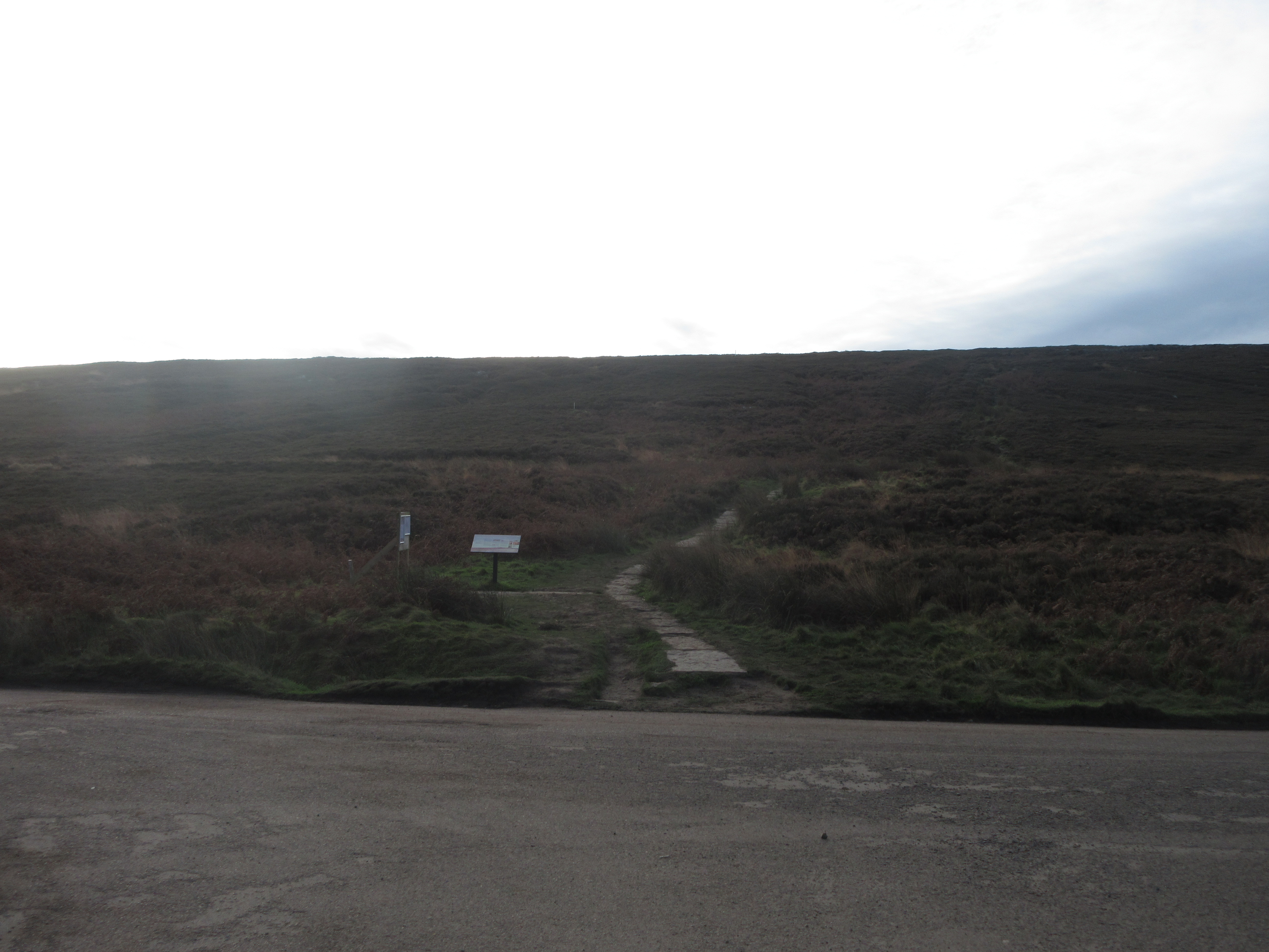
Bonus car park; Lordenshaws The path to Simonside or Spylaw opposite the car park.
Directly opposite the car park is a flagged path which we took. After some hundred yards the path forks, the right climbing up Simonside, the left heading across bleak moorland to Spylaw. This is another section of St. Oswald's Way, he was quite a traveller and we followed him.
The track was muddy, having been churned up by quadbikes, mountain bikes and lots of boots but eventually we came to Spylaw.
Abandoned farm at Spylaw, with a new bird box. There were several new gates on the path too.Beyond Spylaw we continued in the footsteps of the saint until we reached Coquet Cairn, a rather dull pile of stones with a great view over Northumberland to the sea. We declared a Herbie and sat on the rocks out of a very light breeze.
Looking out from Coquet Cairn. Look carefully and you can make out Ellington power station on the coast. Herbie time at Coquet Cairn, which does not overlook the River Coquet. We shared Titans, Kipling slices and Mrs A provided savoury buns and chocolate cake.
Moving on we headed north alongside a plantation. The path was muddy and boggy with a short dry section as we climbed above Selby's Cove.
Selby's Cove, no idea who he was but we were off the Saint's path now.
Untidy business clearing plantations.
From a point above the Cove we climbed a stile and followed a very muddy, very boggy footpath through the cleared wood. Occasionally there were duckboards over really boggy bits. At one point Brian and I lost the path and struggled through a mixture of heather and Lauder Grass (qv). I only stumbled and fell three times which surprised me but I did express my distress in good old Anglo Saxon.
Eventually we reached a cleared area with a path and met the other two at Main Stone. Great late afternoon view of the Cheviot and Hedgehope and a well made forestry road which we followed. At a cross roads the trail we wanted was closed because of "harvesting of woodland" but we took it anyway, thinking that by late afternoon all the tree fellers would have gone. We were right. Not far down the forestry road we took a footpath on the right. There are several walks in the area, colour coded, this one was the red walk. The path, through Joe's Wood went downhill and was steep but not too muddy. At the bottom the footpath came to a forestry track and, turning left we followed it to a car park, closed for the harvesting.
The nearby road took us to the village of Great Tosson which has a ruined tower and, so I am told, a whiskey distillery.
Ruined great Tosson Tower.Turning right we walked down the road towards Somerville but just before reaching it we took the footpath on the right across fields to the footbridge over the Coquet. Once over the river we walked the path across a field and joined the well made trail that goes alongside the river and soon we were back at the car park.
Contains OS data, copyright. Crown copyright and database right 2020
The walk was just over 11 miles, several of them muddy, but enjoyable .
* Nikolaus Pevsner, original author of a series of books covering the counties of England. First published in 1957 it has been updated.


No comments:
Post a Comment