Translate

Saturday 21 November 2020

 Bonnie Shaftoe Crags again. (Northumberland)

November 20th.

Today's walk is a cut down version of another local favourite based on Bolam Lake and village. Fairly close to Newcastle we got to the start through Ponteland, taking the right fork at Belsay and, just beyond the car park at the lake, turning right and going to the church at Bolam. There is a limited amount of parking in front of St Andrew's. It is free, whereas the car park by the visitor centre at the lake is not and one of our team is, allegedly, a tight fisted Yorkshireman who doesn't like to pay.

The map for the walk is OS OL 42 Kielder Water and Forest.

There are four of us out on a day that is cloudy and slightly damp to start with. We are Margaret, Brian, John L. and me.

                                       Parking at Bolam church but go to the very end for best car park photo ever, no kidding

The church of St. Andrew has a Saxon tower, most of the rest is Norman with later additions.

Once changed we walked along the road and down the hill to the car park at Bolam Lake.Thgere is a visitor centre and, because of lockdown, a take away cafe for drinks and snacks. There is also, for the duration of lockdown, a one way system in operation on the footpaths through the woods and round the lake. We followed the path on the north side of the water, heading west until we met the road  where we turned right and continued to Bolam West Houses at point marked 153 on the OS map. Here we turned left and took the farm track  towards East Shaftoe Hall. The track was muddy, even on the section with concrete slabs. Unusually there were quite a few other walkers out too. At one point the track veers left but we followed the grassy footpath alongside a stone wall.

                                             Grey and muddy day

The footpath, muddy, soon reaches Salters Nick, a narrow small gorge once part of the trading route known as Salters Road. 

                           Damp and misty following the wall to......
               

            The end of Salters Nick where other walkers are having lunch. I wonder what they share?

Out of the nick we turned south west on another muddy footpath which passes Shaftoe Grange.

                                               Shaftoe Grange.

The path turns south east and we walked up to the Piper's Chair and declared a Herbie. The spot has good views to the east and south and it is possible to scramble up onto the rock but nobody bothered today.
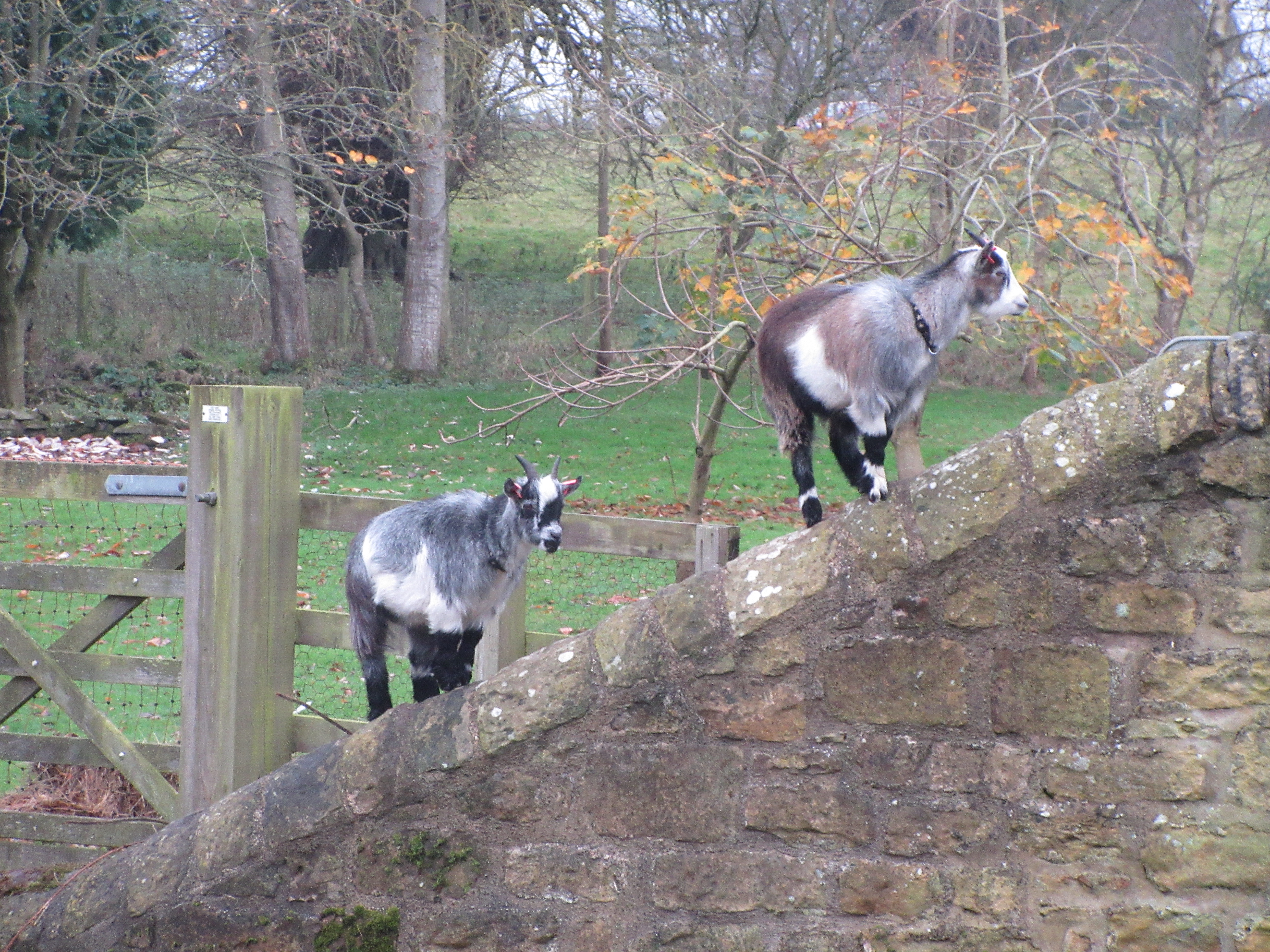
                         Lunch at the Piper's Chair. There is a depression on the top which, according to tradition, was filled with wine at one of the Shaftoe family's weddings. (Not the Shaftoe who went to sea by the way, he was from County Durham) . We shared mince pies as Christmas is on the way, ginger biscuits and vegetarian snacks from Mrs A. (And lemon cake)
After lunch we continued on the track towards East Shaftoe Hall, passing the foundations of an ancient fort, probably Iron Age. 
                          East Shaftoe Hall. The left hand side is 14th century, the rest 17th
                        Walled garden at East Shaftoe Hall.
We took the path in front of the hall, heading almost due south across fields. In Dave's absence I pointed out to John the ridge and furrow lines in the fields and the possible line of a Roman road. He seemed quite pleased. 
At the end of the path across the fields we turned left on a good dry track passing West Tofthill and the farm at Sandyford.
                          Symmetrical Sandyford. John was pleased with this too, he had never noticed, before.
Just beyond Sandyford the footpath goes off to the left across a field to a footbridge . In a field, as we approached Shortflatt Tower we came across an old friend:


                 Baby photo, July 2020

                              Hasn't she grown!
After feeding the colt we took the footpath through a wood and across fields to the White Gate. From here it was not far to the south car park on Bolam Lake from where we walked the footpath round the shore to the Visitor Centre where we stopped for a hot coffee. In July it had been ice cream. From there we went back up the hill to the church, the cars and home.
                                     Bolam Lake, looking cold


This walk is about 7.6 miles, easy going but muddy in winter.


Contains OS data, copyright. Crown copyright and data base right  2020.

And a few more


No comments:

Post a Comment