Hotter than a Copper Snout (Northumberland) October 20th.
Like many a gadgie I suffer from Ohrwurm, a song going round my head all day. Today's Ohrwurm is Jackson, a 60's hit for Nancy Sinatra and Lee Hazlewood, and also for Johnny Cash and his wife June Carter. It contains the line "Hotter than a pepper sprout" . Say no more except that a North East group misheard the lyric and called themselves "Prefab Sprout", a fine example of a Mondegreen if ever there was one.
Enough of that, a septet of gadgies, largest gathering for some time, are heading for Alwinton in Northumberland to walk part of Clennell Street and along Copper Snout.
This walk is number 94 in a recently published book by gadgie Norman Johnsen; "100 Walks in Northumberland". It is also one we have done before, several times.
We exercising seven are Harry, Dave, John H., John Ha, Ben, me and Brian, who has kindly given his name to the storm due to hit Britain on Saturday October 21st.
To get to Alwinton from base go north on the A1, turn off at Morpeth on the A697, turn left at Eldon Bridge on the Rothbury road, drive through that small town and some miles beyond turn right for Alwinton.
There is a National Park car park in the village, for a fee, or a Yorkshire one on the verge by the stream as you reach the village.
The map to use is OS OL Explorer 16, The Cheviot Hills and the freeby is at GR NT 921063
We stopped in Rothbury on the way for tea/coffee/scones/bacon at Tomlinsons Café and Bunkhouse on Bridge Street, always a welcoming place. It has colouring books.
 Tomlinson's café and bunkhouse in Rothbury. The staff said we could wash up instead of paying. We left
Onwards to Alwinton.
 This week's advert for Ford Mondeo (and Fiesta) Alwinton village street behind.
There is a footbridge over the stream in front of the car parking area. We crossed it and turned left, following the ancient drove road called Clennell Strret. Once past the Creel, a farm not a fisherman's basket, the path is grassed and climbs slowly, and a bit wetly today, thanks to overnight rain. On the left is Castle Hill which has a hillfort on the top but we kept Dave away from it today. There are other settlements and enclosures off the path, fortunately very difficult to make out. There is also a Cross Dyke crossing the path, and it is visible. Nobody seems sure what its purpose was, maybe defensive, maybe part of a system for holding animals on the drove road, or a boundary marker.
The path, more like a quad bike route, continues over the moors in a north west direction and is now marked as Border County Ride on the map as well as Clennell Street.
The day was warm and sunny, the views well worth the effort of steadily plodding upwards towards Kidland Forest, a plantation, much of which has been cut.
 Looking east towards the sea.
 And looking west.
We paused near Wholehope to look at the sad remains of the Youth Hostel, now nothing more than a pile of stones.
 Once there was a Youth Hostel on this site, the corrugated shed is not the remains.
After a short distance through the western edge of the plantation we emerged onto open ground again and found the marker post heading south west towards Copper Snout.
 Turn left at this marker, it does have an arrow.
Off the forest track we were back on a footpath, and a wet one at that, thanks again to last night's rain. Not far in we spotted a stell (Sheep fold) and decided it would make an excellent spot for a Herbie.
 The stell we chose for alfresco dining.
 October 20th, warm and sunny. two course meal again today, mini Scotch eggs followed by chocolate cake from Mrs AS., ginger biscuits from Ben, ginger and nut cookies from John Ha., Alpen Bars and little cherry cakes. Tea and sandwich and an apple and six small tomatoes from the vine for me. We discussed opera too, some like it some tolerate it, some can't stand it. We can be cultured sometime, some of us.
Back on track we headed south along the ridge over Copper Snout. Brian and Dave took off to the north to bag Saughy Hill and rejoined us a little further on.
 Gently rounded Northumberland on a beautiful day
 Light cirrus, with cumulus behind, and the Cheviots.
The grassy path wanders downhill to the farm at Shillmoor. The house appears to be have taken over by the army, there was a platoon of fully armed soldiers on the road but they didn't recognise us the enemy. Quite friendly really, probably finishing a long march and wanting a brew.
 Large fungus on the way down, about 9 inches in diameter
 Shillmoor farm and soldier.
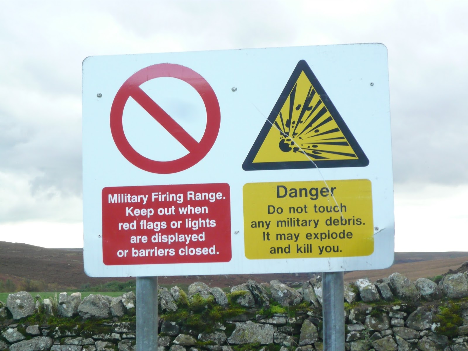
Once across the river we turned left and walked back to Alwinton along the road.There is a footpath on the south side of the river but the red flags warning of army activity were out so we chose to stay clear. There is also a path on the north side of the river from Shilmoor which we have taken in the past but today we stuck to the valley road.
 There are several such sites along the way
 River Coquet, quite full today
 A humorous farmer lives at Linbriggs
 A fair warning, we took it.
Back at Alwinton we decided to make use of the village pub, the Rose and Thistle. Several lagers and one real ale on offer, a well kept Northumberland Gold.
This approximates to Norman's walk number 94. He gives more precise directions but not as many pictures. Apparently the publishers removed some of the Points of Interest he mentions in his walks, so have I today. There are the sites of several illicit whiskey stills in these hills, we passed close to one but there was nothing to see. Well hidden from the excise men.
It's a good walk, not too much climbing, the views on a fine day like today are wonderful in all directions, and it's a bit over 9 miles long.
MATRIX MMXVII Z to the n+12
steps miles
NAK 23460 9.62
iPhone 21369 9.37
Dave's 3D 21058 9.26
"" USB 20578 9.74
"" NAK 20412 9.40
OUTDOOR GPS 9.34
Brian 9.57
 Contains OS data, copyright. Crown copyright and databaseright 2017
The first four photographs in this week's gallery are from Harry, photographer. I'm just a snapper, but quite a good one.


Like many a gadgie I suffer from Ohrwurm, a song going round my head all day. Today's Ohrwurm is Jackson, a 60's hit for Nancy Sinatra and Lee Hazlewood, and also for Johnny Cash and his wife June Carter. It contains the line "Hotter than a pepper sprout" . Say no more except that a North East group misheard the lyric and called themselves "Prefab Sprout", a fine example of a Mondegreen if ever there was one.
Enough of that, a septet of gadgies, largest gathering for some time, are heading for Alwinton in Northumberland to walk part of Clennell Street and along Copper Snout.
This walk is number 94 in a recently published book by gadgie Norman Johnsen; "100 Walks in Northumberland". It is also one we have done before, several times.
We exercising seven are Harry, Dave, John H., John Ha, Ben, me and Brian, who has kindly given his name to the storm due to hit Britain on Saturday October 21st.
To get to Alwinton from base go north on the A1, turn off at Morpeth on the A697, turn left at Eldon Bridge on the Rothbury road, drive through that small town and some miles beyond turn right for Alwinton.
There is a National Park car park in the village, for a fee, or a Yorkshire one on the verge by the stream as you reach the village.
The map to use is OS OL Explorer 16, The Cheviot Hills and the freeby is at GR NT 921063
We stopped in Rothbury on the way for tea/coffee/scones/bacon at Tomlinsons Café and Bunkhouse on Bridge Street, always a welcoming place. It has colouring books.

Onwards to Alwinton.

There is a footbridge over the stream in front of the car parking area. We crossed it and turned left, following the ancient drove road called Clennell Strret. Once past the Creel, a farm not a fisherman's basket, the path is grassed and climbs slowly, and a bit wetly today, thanks to overnight rain. On the left is Castle Hill which has a hillfort on the top but we kept Dave away from it today. There are other settlements and enclosures off the path, fortunately very difficult to make out. There is also a Cross Dyke crossing the path, and it is visible. Nobody seems sure what its purpose was, maybe defensive, maybe part of a system for holding animals on the drove road, or a boundary marker.
The path, more like a quad bike route, continues over the moors in a north west direction and is now marked as Border County Ride on the map as well as Clennell Street.
The day was warm and sunny, the views well worth the effort of steadily plodding upwards towards Kidland Forest, a plantation, much of which has been cut.


We paused near Wholehope to look at the sad remains of the Youth Hostel, now nothing more than a pile of stones.

After a short distance through the western edge of the plantation we emerged onto open ground again and found the marker post heading south west towards Copper Snout.

Off the forest track we were back on a footpath, and a wet one at that, thanks again to last night's rain. Not far in we spotted a stell (Sheep fold) and decided it would make an excellent spot for a Herbie.


Back on track we headed south along the ridge over Copper Snout. Brian and Dave took off to the north to bag Saughy Hill and rejoined us a little further on.


The grassy path wanders downhill to the farm at Shillmoor. The house appears to be have taken over by the army, there was a platoon of fully armed soldiers on the road but they didn't recognise us the enemy. Quite friendly really, probably finishing a long march and wanting a brew.


Once across the river we turned left and walked back to Alwinton along the road.There is a footpath on the south side of the river but the red flags warning of army activity were out so we chose to stay clear. There is also a path on the north side of the river from Shilmoor which we have taken in the past but today we stuck to the valley road.


Back at Alwinton we decided to make use of the village pub, the Rose and Thistle. Several lagers and one real ale on offer, a well kept Northumberland Gold.
This approximates to Norman's walk number 94. He gives more precise directions but not as many pictures. Apparently the publishers removed some of the Points of Interest he mentions in his walks, so have I today. There are the sites of several illicit whiskey stills in these hills, we passed close to one but there was nothing to see. Well hidden from the excise men.
It's a good walk, not too much climbing, the views on a fine day like today are wonderful in all directions, and it's a bit over 9 miles long.
MATRIX MMXVII Z to the n+12
steps miles
NAK 23460 9.62
iPhone 21369 9.37
Dave's 3D 21058 9.26
"" USB 20578 9.74
"" NAK 20412 9.40
OUTDOOR GPS 9.34
Brian 9.57

The first four photographs in this week's gallery are from Harry, photographer. I'm just a snapper, but quite a good one.


No comments:
Post a Comment