This walk has been mulled over, discussed, proposed, put on the back burner for such a long time, but today, at last the MIT walk. The walk starts in Middleton in Teesdale, a small Pennine village. To get there take the A69 west, A68 south at Corbridge and the A 688 at West Aucland to Barnard Castle and then follow the river north west to M,in T. Alternatively head south from Witton le Wear on the A68 and follow minor roads, hoping they are sign posted. This time of year the heather is in bloom making the road across the moors well worth the drive.
There are four of us out today, Dave, Harry, Ben and me, squeezed comfortably into one car, comfortably. From Middleton in T main street turn down towards the river. Just before the bridge, on the left, is an old school/outdoor centre which is currently being used as a long stay Yorkshire car park, although M in T is in County Durham, Land of the Prince Bishops.
A Minnie Winnie in the car park. Left hand drive but GB plate and sticker
|
The map to use is OS OL 31, North Pennines.
Walking back to the main street we turned left. At the fork in the road we took the right tine and walked uphill past several cottages until we came to another fork in the road, this time going left along the one with a no through road sign.
The road eventually became a track above the Hudeshope Beck. (Note, beck, not burn or dene, we are nearly in Yorkshire. I feel so excited.).
Hudeshope Beck. There were quite a lot of children playing in the valley, building dens, trying to fish, paddling in the shallow stream. Just what bkids should be doing.
Eventually the track became a path through the woods. At Skears Scars we crossed the first of many stiles and walked across fields to the small farm at Club Gill.
Lads with style on a ladder stile
Done in part with European money. Where will it come from in a few years?
At Club Gill we turned right on the road and walked a few hundred yards to the finger post on the left. This track took us through the old mining areas. From Roman times and possibly before, the upper dales of the Pennines were mined for lead, silver and zinc. On this part of the walk we past many remains, and warning signs. Heaps of spoil cover the sides of the valley, giving the impression of glacial remains, with a human hand.
Spoil heaps
Be warned
Entrance to an adit mine.
Slightly off piste we followed a water course uphill onto Coldberry Moss, an apt name, it was quite boggy in places. Near the reservoir marked on the map we settled down behind a wall to keep out of the wind as we had a Herbie. Slim pickings again; Cherry slices, sponge cake, ginger biscuits and Titans, the poor man's Mars Bar. Slim Pickings? Really?
Lunch over we headed south west downhill until we met the old miners' track. Past more old mine workings and farms until we reached the smart little farm Stable Edge.
Stable Edge and its guardian owl. Note the balcony on the building. Possibly it was designed and built for the ladies of the house who would knit, extra daylight on the outside.
Just beyond Stable Edge we turned right down the road to the village of Newbiggin, a long street and little else.
Newbiggin Cottages. Many of the buildings in Teesdale are painted white,rumour say it is a condition imposed by Raby Estates, the land owner.
At the west end of the village we followed the direction indicated by a finger post, crossed fields and came to a footbridge over the River Tees.
Bridge over quiet waters.
We now joined the Teesdale Way, fairly long distance footpath and part of the Pennine Way, very long footpath. Maps and compasses away, the path is easy to follow as it goes alongside the river back to Middleton in Teesdale. Most of it is well above the river and through woodland. The prettiest part of a good walk.
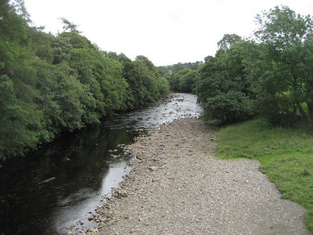
River Tees from the footbridge at Newbiggin.
Back in the village we chose the Teesdale Hotel for a well earned beer. They had three on offer; Black sheep, Sneck Lifter and another whose name I forget.
Matrix MMXVII Zx56
steps miles
IPhone 23722 10.2
NAK 29534 11.65
Wrist Nak 24407 11
OUTDOOR GPS 9.9
Dave's 3D 23231 10.32
""" USB 21877 10.35
"" NAK 21436 10.14
And a few more pictures; M I T, various stiles, farms, field barns, footpaths mine works and an RAF trainer


No comments:
Post a Comment