Translate

Saturday, 1 June 2024

The Belford four

 The Belford four. May 31st

After more rain Brian, Margaret, Dave  and I are looking for a walk with good, relatively mud free, tracks. St Cuthbert's  Cave from Belford hopefully fits the bill.

Head north on the A1, turn off into the small town of Belford, turn left onto the Wooler road and park by the community hall for free. 

OS explorer 340 Holy Island covers the walk. The walk to St. Cuthbert's Cave is a good standby in doubtful weather. Easy going, good paths and some excellent views.

Breakfast at Carnaby, cafe and shop, on the A1 just south of Belford.  Friendly staff, mini John Deeres  for the children.

                             Carnaby cafe and shop. Well worth a visit.

           Not a winning car park. The hall needs some TLC.

The walk starts up the lane to the left of the run down hall. Passing West Hall, a fortified farm house, we went through a farmyard, headed across fields, passing a lime kiln and entered a wood. The footpath was a little muddy, not surprising considering the rain that fell earlier this week. At a junction we took the track on the left and soon reached Swinhoe Farm. 

                 There must be a book on the lime kilns of Northumberland somewhere

A lady in a high viz jacket sitting near a pointer saying JMY  said she was security but didn't seem to be too sure what she was securing. 


                                Animal farm

At the farm we we took the track on the right, crossed a field and were in the wood surrounding Swinhoe Lake. Very little action on the water.

                         Swinhoe Lake.
Leaving the wood we crossed a field, disturbing a deer, before coming to another junction. From here there is a .grand view of the sea and Holy Island. Unfortunately a sea fret meant there was no panoramic vista.
We walked the track on the edge of fields, passing a private fishing pond. More woodland  to Rabbit Hill (mile 4) where we turned south. The path that goes close to the pond at Holburn Moss is not posted, it's on the left above East Holburn Farm. The grassy track becomes a well worn footpath going close to Holburn Moss, home to several hundred gulls.

                  Holburn Moss and birds.
The path climbs steadily up Greensheen Hill to a trig. point. From here there is awide view of the Cheviot Hills, except today they are covered by low cloud.

               Triangulation point on Greensheen Hill. Put out of business by GPS
Beyond the trig point the footpath goes on to a stile that takes walkers into the wood above St. Cuthbert's Cave.

       St Cuthbert's Cave, Whether his body rested here on its journey to Durham or not, I'm not sure.
It made a sunny spot for a Herbie though. Apple pies, Bakewell slices and Mrs A's  offering of sweet and savoury. There were quite a few families around, enjoying an rare sunny day. It is half term. A couple of women were doing the whole of St. Cuthbert's Way. (A long distance walk of 62 miles from Melrose in Scotland to Holy Island). Their partners had brought them a picnic lunch, with plates and everything.
Having sat in the sun for some time we headed along the track below the cave, passing Cockenheugh, another rocky outcrop.

                                         Cockenheugh
Leaving the woods we crossed a field and found JMY. A couple of young men were laying some temporary hard standing for a film crew. They flatly refused to tell us what was to be filmed but there were lots of signs saying JMY.
Back at Swinhoe farm we went through the yard, past the riding school, climbed a hill and made our way back to Belford, passing West Hall again. On the way home we rehydrated at The Ridley Arms in Stannington. Blonde Star

                                West Hall.

                 Contains OS data, copyright. Crown copyright and database right 2024.
The walk is 10.4 miles, easy going with a few gentle climbs.


                                 Yes we were on St Oswald's Way at times


Saturday, 25 May 2024

When it's wet walk from Wylam

 When it's wet, walk from Wylam May 24th.

On Wednesday it rained, all day. On Thursday it only rained for part of the day. Thinking many cross country paths would be muddy we settled for a walk on well known and firm trails from Wylam.

A69 west turn left at sign for Wylam, drive towards the station and before crossing the River Tyne turn left into the free car park.

The walk is covered by OS Explorer 316 Newcastle upon Tyne, but it is not essential.

                    Wylam car park near the Tyne.
Before the walk we enjoyed tea, coffee and bacon sandwiches in the Coffee Tree, a short walk up the road from the car park.
A team of seven: Brian, Margaret, Harry, Ian, John H., John L. and me.
Breakfast over we left the car park, crossed the river, which was fairly full after the last two days precipitation, turned into the station car park and took the footpath at the far end.

  Thye Tyne at Wylam, full and fast flowing.
The footpath follows the banks of the river for a little over three miles. On one side is Ryton Golf Course. At one point the path goes round the magic smoking ground. Occasionally small clouds of smoke appear from the ground, escaping an underground fire in an old pit. 


                        Some went on foot, some on horse and some on a train.
Near the Newburn Bridge there are several rowing clubs, a couple of eights were out on the river.


                       Newburn bridge an eight and a four.
Newburn is the site of the Battle of Newburn Ford where, in 1640, the Scots beat the English in a battle of the Bishop's War, the overture to the Civil War. The victorious Scots went on to capture Newcastle.
Once over the river we headed uphill to the War Memorial. Behind it a footpath climbed, but not too steeply to the top of a hill from where we had a fine view of the local primary school. It was lunch time, the children were making the most of their break.

                       Newburn Primary.. 
Just beyond the school we turned left up a lane, passing what looked like several scrap yards. Taking the right fork we entered Throckley Dene. 
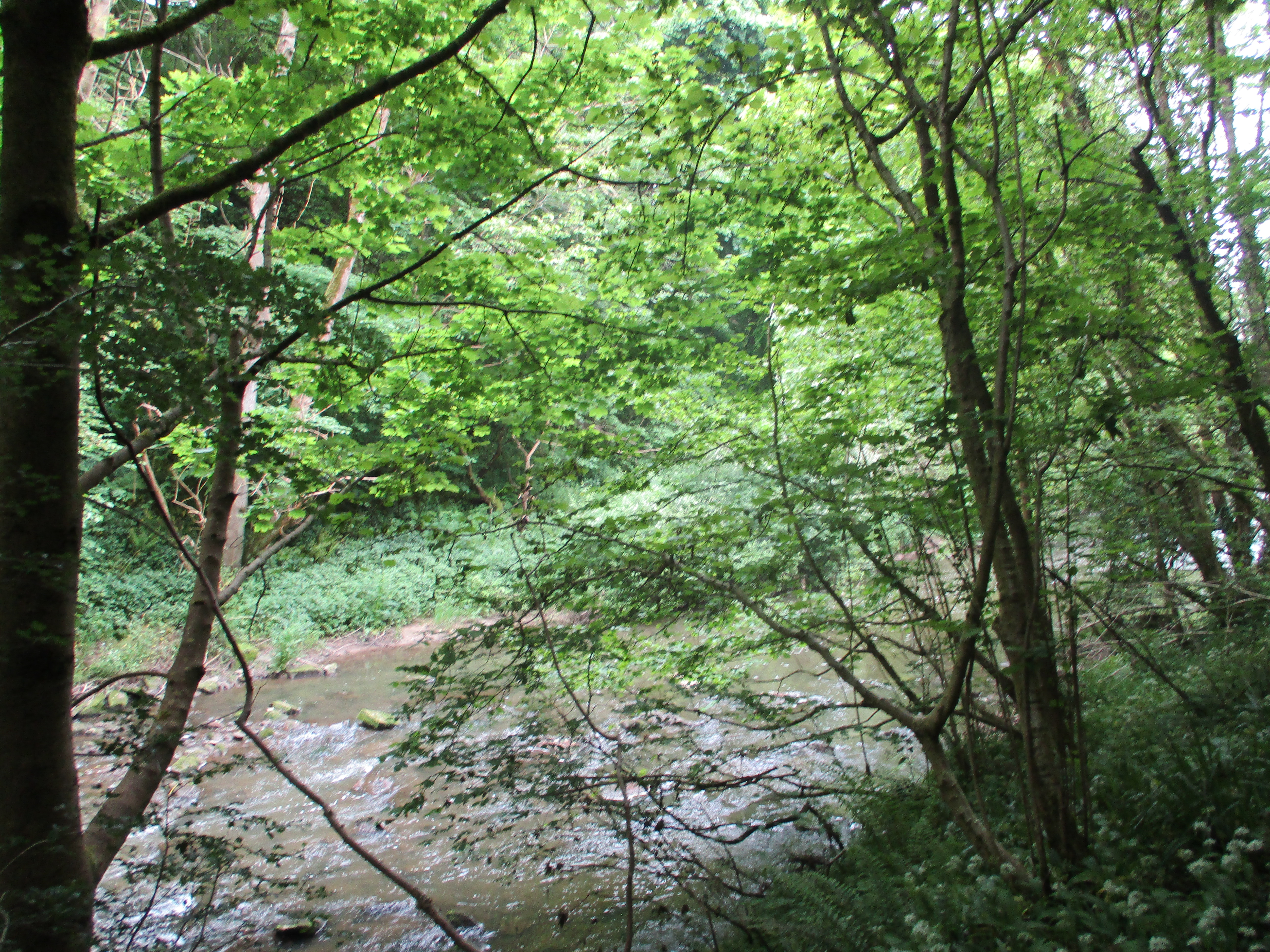
              Throckley Dene. The path climbs steadily, crossing the stream several times.
We crossed a minor road and continued in the dene, eventually emerging into field, turned left and climbed steps cut into the ground to the single bench at the top. It made a reasonable but crowded Herbie Spot. (Apple pies, cookies, ginger biscuits and Mrs A's sweet and savoury offerings)
After a break we set off again cutting through the estate until we came to the old main road through Throckley. It is on  Hadrian's Wall ,not that you can tell. Finding the Coral Bookmakers we took the footpath strewn with empty lager cans down hill. It's a bit tricky finding the way through the housing estate but eventually we were on the footpath heading downhill in the direction of the river. At a minor road we turned right and about 100 yards uphill followed the signpost that took us along a narrow footpath, heavily nettled to a field.Once across the field we turned left and went down to the old wagonway/railway line, that is now a trail for walkers, cyclists and horse riders. The well made path passes the Close House Golf course and Stephenson's Cottage.

                      George Stephenson, the father of the railways lived here

Soon we were back at the car park and soon we were in the Fox and Hounds which serves TTL in fine tankards, The alcohol free Guinness is OK too.

Contains OS data, copyright. Crown copyright and database right 2024.
The walk is about 9.5 miles, mostly easy going with a couple of short climbs.


Sunday, 19 May 2024

Northumberlandia

 She's the biggest earthwork in the world, almost.

Just outside Cramlington, beyond the Snowy Owl pub is Northumberlandia. Built from rock and soil when the surrounding land was stripped for coal the earthwork, a large lady, is currently the second largest art work of its kind in the world, apparently. Beaten only by China. There are footpaths to walk round, you can climb to the top of her head and admire the view. And there is a cafe. 

Today the Green walking group is having a walk from the car park at Northumberlandia (Free!).

                               Parking at Northumberlandia

Once parked and booted our party set off through what The Times described as a forest towards the lady. There is a cafe by the forest which is actually a short strip of woodland. Once through the lady lies in all her glory.


She's a big lass and a bonny lass.

 Rather than walk round the lady we turned left and headed down a well made track across what was once an opencast mine, now filled in again and left to settle before being either a park or agricultural land. Turning right we then walked north almost to Shotton before crossing fields to the main east Coast Railway.

There is a crossing point. Visibility down the track is good but the trains are fast. No messing.
It's necessary to follow the railway fence for a while before finding the crossing and then doubling back. 
Once over the railway we were on a road that goes to the local pharmaceutical factory. We followed the road for a short distance, turned left then almost immediately right, soon finding ourselves at the A192 road which goes downhill past Hartford Hall to cross the river Blyth. It's a busy road.
Once over the river we took the path into Plessey Woods Country Park and wandered the paths to the visitor centre.
                   Totem poles, as you would expect

                    Plessey Woods Country Park visitor centre. Cafe, toilets and swings for the children.
The park was busy, quite right too on a Sunday morning. Lots of families, and dogs.
We sat at a bench under a group of chestnut trees and enjoyed a Herbie. No swapping with the Greens.
Lunch over we followed signs for the Meadow Walk and river and took the footpath high above the river. Eventually it headed for the water, went under the viaduct on the main line and we continued towards Stannington.
                       Take this path

                           Main line viaduct over the River Blyth.
At Stannington the path climbs up to the A1, busy dual carriageway but there is a footpath alongside it.
 After a short and noisy walk by the road we followed the sign for Shotton, walked through the farm and at mile 7 rejoined our original route. Soon we were back at  Northumberlandia, some went to the cafe, some the Snowy Owl Pub and some went home.

Contains OS data, copyright. Crown copyright and database right 2024
The walk is about 8.5 miles, easy going, pretty woodland makes up for the short stretches on the roads.