High Cantle from Hartside in the Breamish Valley
(Northumberland) April 7th.
Hi Gloria!
Back in the Cheviots for the first time for a while, five of us (later boosted to six) out for a walk in and out of the Breamish Valley on a cool, cloudy spring day. The five are John H., John Ha., Dave, Harry and me.
To get to the start at Hartside in the Breamish Valley take the A1 north, the A697 and turn left at the sign for Ingram. In Ingram there is a café, Muddy Boots, with a fine if small display of the history of the valley. And history it has, the valley sides have ridge and furrow remains, cultivation terraces and several of the hilltops have forts on them, with ancient settlements on the lower land too. The name Ingram comes from OE angr-ham meaning grassland settlement and the wide valley remains a lush pasture. Breamish is pre Roman, brefu, and means to roar. The river isn't roaring much today though
We stopped at the café for morning coffee/tea/bacon before moving on to Hartside to start the walk.
 St. Michael's church Ingram. 11th century origins but mostly 18th/19th
 Muddy boots café. It used to be the information centre
 Part of the display in the café showing the history of the valley
A book, Reflections. The Breamish Valley and Ingram, by Sarah Wilson is on sale in the café and is full of the history of the area, anecdotes, characters and photographs.
Breakfast over we drove on the few miles to Hartside, which is as far as visitors are allowed to go. Hartside was the home of Nellie Heron who died on the moors in a snowstorm in the 19th century. (See Looking for Nellie Heron 8/10/2015)
The map to use is OS OL 16 Cheviot Hills and Hartside is at GR NT977162
Walking due west from the grass verge that passes as a car park we passed the few houses that make up the hamlet of Linhope, including the big house built as a shooting lodge for the Joicey family.
 Park on the side of the road at Hartside
 One of the Linhope cottages
 The aubretia is about to cover the wall.
At the big house the road curves round the estate and becomes a farm track as opposed to a metalled road. Some short distance from the hedges surrounding the house there is a track on the left. We followed it, generally in a western direction but occasionally wandering off piste and across lauder grass and heather. We stopped to admire a shooting butt.
 Butt no 7. It has a metal ring to tie your dog down, or your kitchen maid.
 Distant Staindrop outcrops, for some reason I don't understand the other boys call them "double D"
We watched a tractor cutting the heather before burning it off. This is done to encourage new growth to feed the grouse ready for the shooting season. The smoke was visible for miles, like Cherokee signals.
 Burned off heather, and smoke
 Rig Cairn
At Rig Cairn we were back on the official path, marked quite well. Heading south west we reached High Cantle and descended the steep path to the river Breamish valley.
 Look carefully, there are two stells in the Breamish valley
 Quad bikes, which have replaced the shepherd's horse or feet, can pass the gate without stopping, very useful, especially on cattle grids.
We entered a small wood and called a Herbie Spot, sitting on a grassy bank and causing two pairs of Oyster Catchers to warn us off their nests on the shingle by the stream.
Today's sharings were peanut biscuits, snickers, Jaffa cakes and very rich brownies from www.jesmondcakecompany.com. makers of extremely nice cakes and biscuits.
Lunch over we headed south east on the farm track past the farm at High Bleakhope.
 Herbie Spot
 High Bleakhope Farm. It looked deserted in spite of the TV dish. There was a very friendly farmer working nearby though.
At Low Bleakhope we turned right along Salter's Road Track, climbing slowly before beginning the descent towards Little Dod. Hear we took the grassy path to the left, leaving the farm track that leads on to the delightfully named Ewaryt Shank and Alnham.

Low Bleakhope. Neither farm has the traditional look!
The path, which is well marked heads north east, passing the remains of at least one ancient homestead before coming to Alnhammoor Farm. A gate in the wall just beyond the farm leads across a field to the track which curves round back to Hartside.
 Go for it Wordsworth, write it down


(Northumberland) April 7th.
Hi Gloria!
Back in the Cheviots for the first time for a while, five of us (later boosted to six) out for a walk in and out of the Breamish Valley on a cool, cloudy spring day. The five are John H., John Ha., Dave, Harry and me.
To get to the start at Hartside in the Breamish Valley take the A1 north, the A697 and turn left at the sign for Ingram. In Ingram there is a café, Muddy Boots, with a fine if small display of the history of the valley. And history it has, the valley sides have ridge and furrow remains, cultivation terraces and several of the hilltops have forts on them, with ancient settlements on the lower land too. The name Ingram comes from OE angr-ham meaning grassland settlement and the wide valley remains a lush pasture. Breamish is pre Roman, brefu, and means to roar. The river isn't roaring much today though
We stopped at the café for morning coffee/tea/bacon before moving on to Hartside to start the walk.


A book, Reflections. The Breamish Valley and Ingram, by Sarah Wilson is on sale in the café and is full of the history of the area, anecdotes, characters and photographs.
Breakfast over we drove on the few miles to Hartside, which is as far as visitors are allowed to go. Hartside was the home of Nellie Heron who died on the moors in a snowstorm in the 19th century. (See Looking for Nellie Heron 8/10/2015)
The map to use is OS OL 16 Cheviot Hills and Hartside is at GR NT977162
Walking due west from the grass verge that passes as a car park we passed the few houses that make up the hamlet of Linhope, including the big house built as a shooting lodge for the Joicey family.


At the big house the road curves round the estate and becomes a farm track as opposed to a metalled road. Some short distance from the hedges surrounding the house there is a track on the left. We followed it, generally in a western direction but occasionally wandering off piste and across lauder grass and heather. We stopped to admire a shooting butt.


At Rig Cairn we were back on the official path, marked quite well. Heading south west we reached High Cantle and descended the steep path to the river Breamish valley.


We entered a small wood and called a Herbie Spot, sitting on a grassy bank and causing two pairs of Oyster Catchers to warn us off their nests on the shingle by the stream.
Today's sharings were peanut biscuits, snickers, Jaffa cakes and very rich brownies from www.jesmondcakecompany.com. makers of extremely nice cakes and biscuits.
Lunch over we headed south east on the farm track past the farm at High Bleakhope.


At Low Bleakhope we turned right along Salter's Road Track, climbing slowly before beginning the descent towards Little Dod. Hear we took the grassy path to the left, leaving the farm track that leads on to the delightfully named Ewaryt Shank and Alnham.

Low Bleakhope. Neither farm has the traditional look!
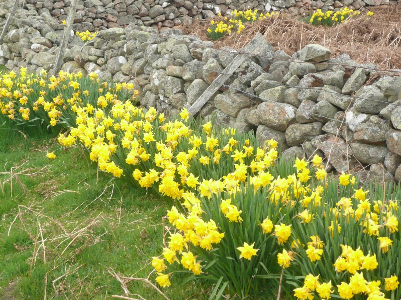
The path, which is well marked heads north east, passing the remains of at least one ancient homestead before coming to Alnhammoor Farm. A gate in the wall just beyond the farm leads across a field to the track which curves round back to Hartside.
 |
| Alnhammoor Farm |
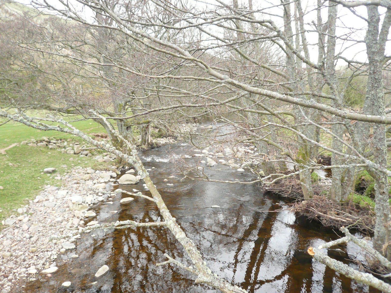
River Breamish at Alnhammoor
Back at the car we noticed Brian's car and left a note on the windscreen saying "Anglers Arms", knowing he would understand the cryptic message.
At the Anglers Arms, Weldon Bridge, we enjoyed a choice from Adnams Lighthouse, Black Sheep and Jennings Cumberland. The first and last went down very well, and Brian joined us.
Another good walk out for the gang of gadgies, I always like the Cheviots.
The Matrix MMXVII OO
steps miles
NAK 24960 9.45
Dave's 3D 19940 8.77
"" USB 19296 9.13
"" NAK 19154 9.06
OUTDOOR GPS 9.1
Etrex 9.13
Walking time 3hours 30 minutes talking time 51 minutes
Contains OS Data, copyright. Crown copyright and database right 2017