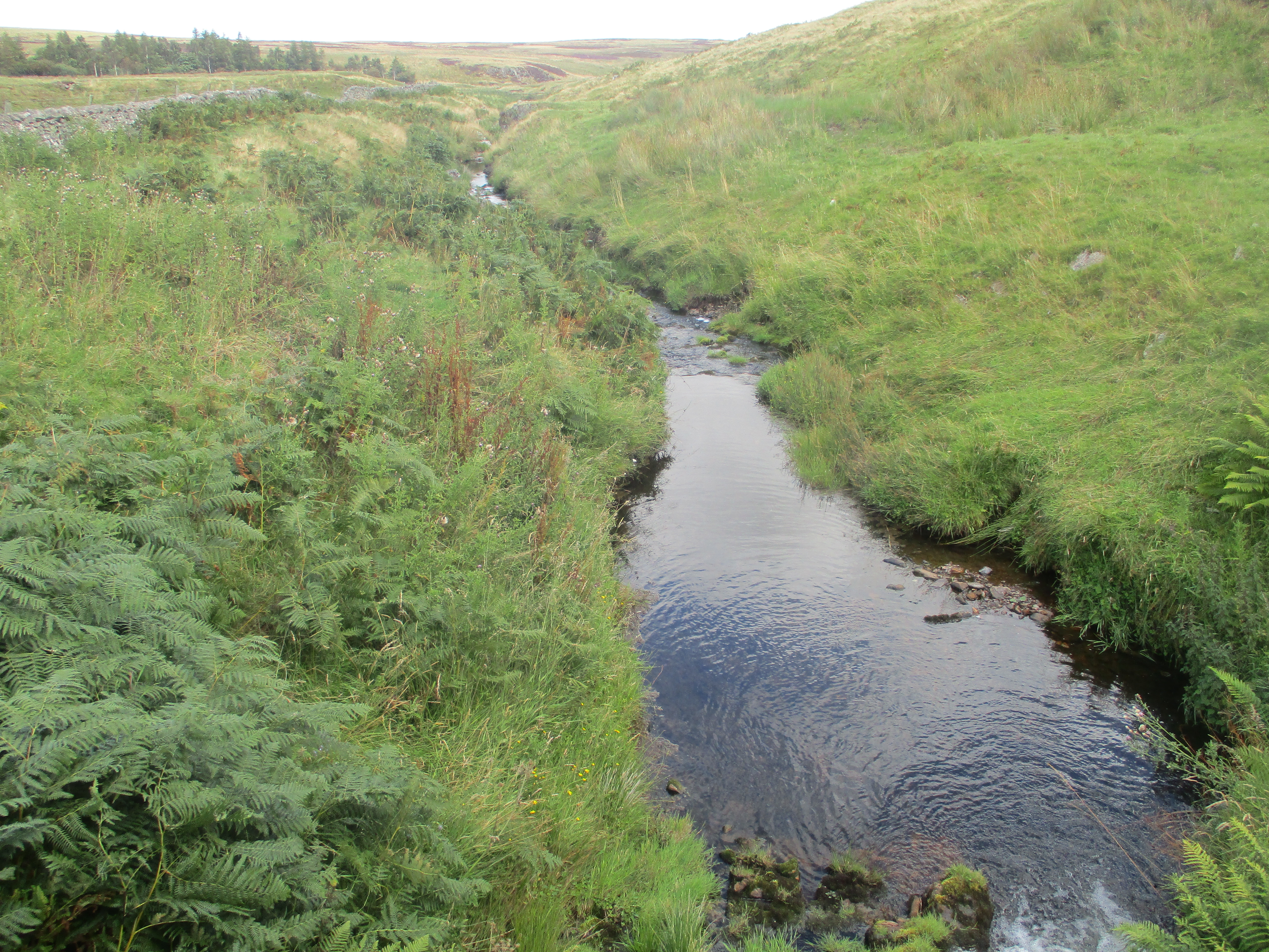
Translate

Saturday, 24 August 2024

BACK TO THE WALL

Back to the Wall. August 23rd.

It's  a long time since we walked on Hadrian's Wall To make up for it, six of us are off to guard the frontier against marauding Scots.

The walk starts at The Sill, museum, cafe and YHA at Once Brewed,  near Twice Brewed, a pub and tiny settlement on the Military Road, aka B6318 a minor road built after the Jacobite uprising in 1745. Part of it is built on top of the wall,  The Sill and pub are south of it. The walk is covered by OS OL43 Hadrian's Wall,

Today's  legion comprises Dave, John L., John H, John C, Ian and me.

                         Rear of the Sill. There is a cafe, a shop, an exhibition and a YHA.

The name comes from the Whin Sill, a strip of dolerite that crosses Cumbria, Durham and Northumberland, providing ridges for the Roman Wall and high ground for castles like Bamburgh

                             Car park at the Sill. £5 for a day, reasonable when you think Newcastle Airport charges £4 for a ten minute drop off.

Leaving the car park we walked south on  a road before turning left and heading for Vindolanda.

Vindolanda is a Roman fort and is well worth visiting for the foundations of the fort, the museum and the restaurant. It is not National Trust or English Heritage but a ticket lasts a year, well worth it but I can't remember the cost.

However, today we walked past it, also passing a stump of rock which is the remains of a Roman Mile Post, the upper section having been taken by a farmer to be used as agate post. Vandalism or recycling, depending on your point of view.

                    Roman mile post near the back end of the whole Vindolanda site, been there the best part of 2000 years.
                        Remains of a Roman Mile post, also been there a long time.
Just beyond the museum, close to the mile post there is a track, and by the track is a footpath that leads down to a stream, crosses it and joins a minor road. A short distance down the road (mile 3) we followed a sign post and crossed a field to West End Town, a hamlet consisting of some smart houses.

                     West End Town ?

If you do this walk watch out for a finger post on the right hand side of the road which points to a rough farm track on the left hand side of the road which is the start of the long uphill climb over Birkshaw Hill, part grassy track, part narrow footpath. At the summit there are beautiful panoramas both north and south, and a trig point.

                     The trig point. The hill top was also the site of a Roman Signal Station. There is not a clear line of sight between Vindolanda  and the fort Vircovicium (Housesteads) on the wall. So from this vantage point Tesxtus Sextus could send messages either way, a sort of ancient WhatsApp, but no funny little laughing faces
                        A panoramic view, with sheep.
After the long walk uphill it was good to be going down. Reaching a road we turned right and, at mile 5, turned left on a well made farm track that took  to the B6318, aka The Military Road. Crossing it we followed the sign post for Housesteads farm. Once there we commandeered some of the benches outside the farm for a Herbie and also to keep out of the strong wind. (Apple pies, ginger biscuits and Snickers. Mrs A is away.
Lunch over we walked up past the Housesteads Museum and the west gate of the fort. The fort is well worth a visit, today it was busy with families playing at being legions and cohorts and centurions.
                   Housesteads west gate, built 122AD
                This is the only part of the wall where you are allowed to walk on it. Obviously not the original height (9 feet or 3m). There is a path running parallel to it.
There are two paths running along the wall, one close to it with lots of short steep up and down bits. The alternative is to use the grassy track that was a Roman military road. Because of the strong west wind blowing in our faces we took the soft option eventually reaching the road at Steel Rigg where we turned left and headed downhill to the Sill. 
                               Shoots and leaves round the base of....
...........stump of the famous Sycamore which was cut down by vandals last year.
Amazingly we went to the cafe in the Sill for tea and scones before going home.


Contains OS data, copyright. Crown copyright and database right 2024.
The walk is 9.5 miles with some climbing but worth it for the views (and the stones if that's your thing)


Saturday, 17 August 2024

Who let the dogs out

 Who let the dogs out, the return. August 16th

It's  a long time since we walked from Wooler Common. That's where today's  wander begins. Head north to Wooler, small town in Northumberland, and once on the main street follow the signpost for Wooler Common and make use of the large carpark, free too, bliss. (But have breakfast first in the Terrace cafe on Wooler High Street)

Team for the day: Brian, Margaret, Harry, John H., Dave and me

The map for the walk is OS OL 16 The Cheviot Hills

On one occasion, finishing a walk at the car park, an ice cream van announced its  arrival by playing "Who let the dogs out?" The name stuck.

The car park at Wooler Common. Contender?

We left the car park at the east end, near the shelter which can serve as a bench for booting up but it's a bit uncomfortable. Crossing a stream and walking a short distance in the wood we came to the footpath on the left that goes uphill for a short distance on St. Cuthbert's Way. Entering a field we turned north, contouring around Humbleton Hill .


The Battle of Humbleton Hill September 14th 1402. England v Scotland, again. This time England won, thanks in part to Harry Hotspur, 

There are two paths, one climbs the hill, the other goes round it. We went round it on a narrow footpath with ferns on either side and a slight chance of seeing an adder, which we didn't.

Eventually we reached Gleadscleugh Farm and a firm track.

                            Gleadscleugh

Humbleton Hill. There are the remains of a hillfort on the top.

The track climbed slowly, as did some of us and it wandered for a couple of miles over the moorland until we reached Commonburn House.

Much to Dave's delight there was a fair sized pack of large dogs safely kenneled in the yard.

Commonburn House
Heading south round the side of the farm we crossed a field and a stream, climbed up onto the moors and stopped for a Herbie. (mile 6)  (Apple pies, lemon slices, cookies and, of course, sweet and savoury from Mrs A)

Looking back at Commonburn from Herbie Spot. We watched two farmers riding quad bikes rounding up a small herd. Eat your heart out Clint Eastwood.
The footpath across the moor from Commonburn to Broadstruther is narrow and suffers from Lauder grass, you need to watch your feet. It is however clearly marked and if you want there is a track for a slightly longer walk.

Broadstruther. Once a farm, then a bit of a ruin, now a shooting lodge. Nobody out shooting today.
We left Broadstruther on a good track heading north east, crossed a stream and joined the footpath that runs alongside Carey Burn to a footbridge. The footpath was hemmed in by high ferns and bushes, usually it's very clear. Eventually we reached the marker offering choices. Go right to Carey Bridge or left up "Hell's Path." We chose the latter, climbed out of the valley, crossed Wooler Common on a good path, took the footpath downhill and arrived back at the cars. But there was no ice cream van today.
On the way home we stopped at The Ridley Arms in Stannington. Black Sheep, Guinness zero or tea.

Contains OS data, copyright. Crown copyright and database right 2024.
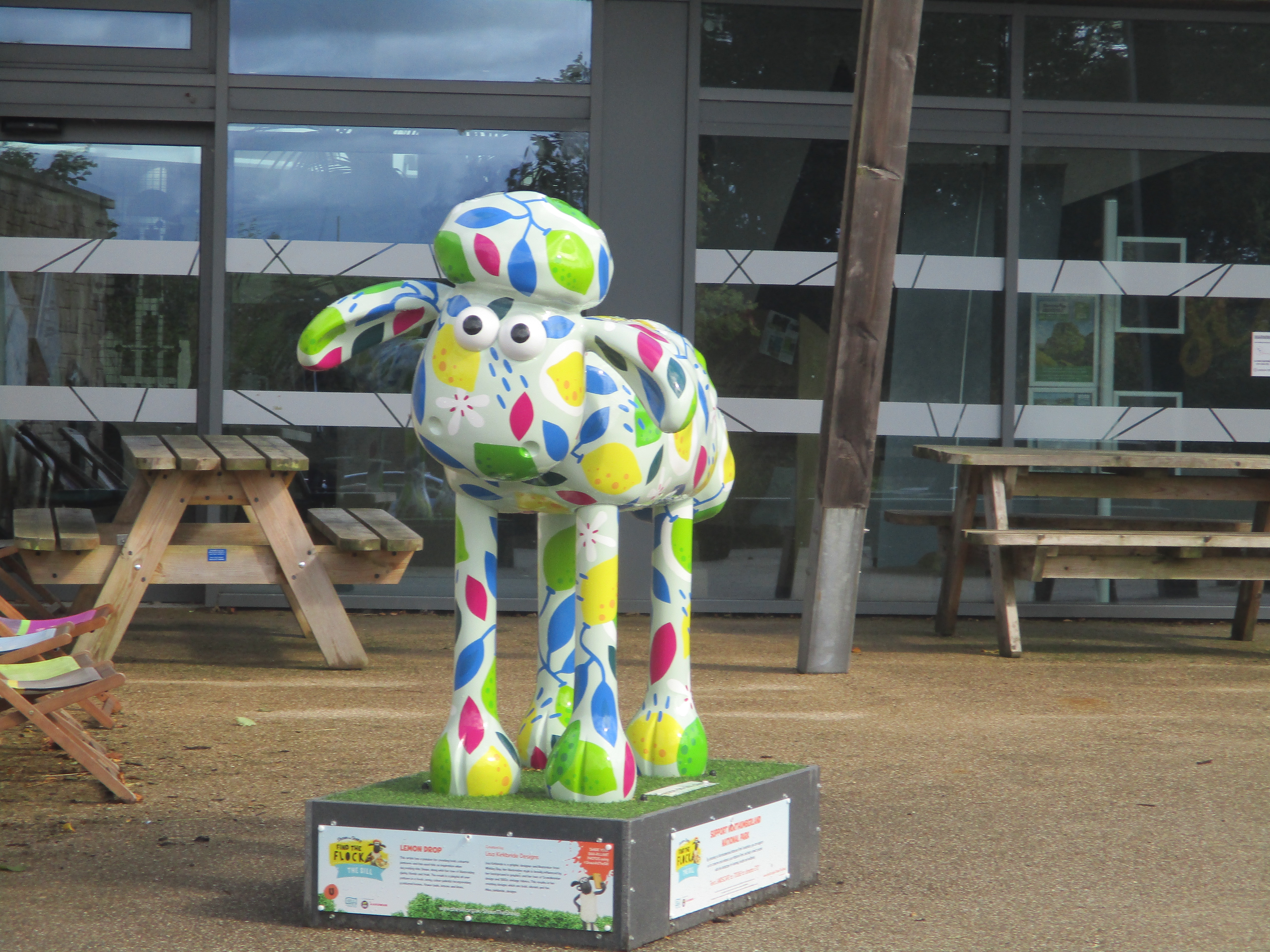
The walk is about 10 miles with some climbs but not difficult.


                                                                 ?


Saturday, 3 August 2024

The four busketeers

 The Four Busketeers. August 2nd

A few weeks ago our planned walk from Beadnell to Seahouses Farm was scrapped. Either we were too late for the bus or it didn't  turn up. Today we are trying again. Park at Seahouses Farm, a couple of miles south of Craster, walk a quarter of a mile to Howick hamlet and hope the 418 arrives.

The maps for the walk are: OS Explorer  340 Holy Island and OS Explorer 332  Alnwick but as most of the journey is on the Charles III Coast Path/England Coast Path they are not necessary.

The four busketeeers are Brian, harry, John H and me, first all male walk for some time.

          Not a winner. Parking at Seahouses, not even the start of the walk. Two large camper vans, full of French people escaping the Olympics.
                     The 418 arrived on time. Several other walkers on board.
The bus took us to Beadnell, we stopped outside St. Ebba's church and went straight to the cafe opposite for breakfast. (Saltwater cafe, highly recommended.)
                      St Ebba's. She was an abbess at St. Abbs in Scotland and had a place at Ebchester in Northumberland too. The church is 18th century.
And then we were off, walking through houses behind the cafe to the caravan park and onto the beach, missing to my disappointment the wonderful Lime Kilns.

                                    Beadnell Lime Kilns.
We walked along the beach, busy with holiday makers enjoying the sun. At Long Nanny we left the beach and crossed the stream by the footbridge before going back on the sand.

                       Long Nanny and footbridge.
Back on the beach ,noting that the terns that breed on the beach near there had flown, we continued sand trotting to a point where the sand was replaced by ankle breaking small boulders.  (mile 3). Up on the dunes we walked round Football Hole, so called because of the 19th century tradition of a soccer match between High and Low Newton played every Good Friday, unless the tide was in. Continuing round Newton Point we reached Low Newton by the Sea and called a Herbie, sitting on a bench on the green which has cottages on three sides.

            Low Newton, ideal Herbie spot. (Apple pies, cookies and sweet and savoury from Mrs A who had sent them.
Back on the beach we walked along Embleton Bay for a while, took the path round the golf course  and reached Dunstan Steads (mile 6).

                  Beadnell Bay
From Dunstan Steads we took the footpath to the right, not the concrete road, walked through fields of barley, a stretch of woodland and more fields  to Proctors Stead. (mile 8).
From here we took the road to Craster and paused for tea at the Piper's Pitch next to the closed visitor centre.

              Dunstanburgh from Dunstan Steads.
From Craster we walked along the coast path to Seahouses Farm, passing, as usual, the bathing house.
                  The bathing house, what a changing room.
On the way home we called in at the Ridley Arms in Stannington. Black Sheep and zero alcohol Guinness.
  Contains OS data, copyright. Crown copyright and database right 2024.
The walk is just over 10 miles, easy going too.