Embleton to Craster and back.
"It was a sunny day,
Not a cloud was in the sky"
Another heat wave, another walk on the coast to take advantage of a cooling coastal breeze. Take the A1 north, leave just beyond Alnwick for Denwick and follow B1340 and B1339 to the village of Embleton.
Park near the Dunstanburgh Castle Hotel On the side of the road. A septet today, lightly dressed for the promised 24 feels 27C.
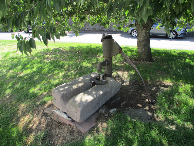
Not a contender but handy for the pub and free. A couple of benches nearby too, useful when booting up. Ye olde villagee pumpe.Once ready we set off up the street next to the pub, turned right at the top of the hill, continued a short distance by road and then took the footpath through Glebe Farm, crossed the burn at Shirewater Low Mill and turned left for Dunstansteads.
On familiar ground here we followed the concrete strip (supposedly built for testing tanks) and walked to Dunstan Square Farm.
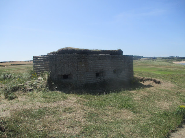
Yes, it's a lime kiln and yes, it's left from WW2.
At Dunstan Square we turned left, walked down the field towards the coast then turnedright, going through a gate and walking behind The Heughs to Craster.
About 3.3 miles into the walk we stopped for breakfast at the Piper's Pitch next to the car park in Craster. Toilets too.
The Piper's Pitch. Very busy and very good too. Outdoor seating only.
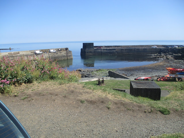
Leaving the pitch the next section took us past the harbour and across the fields to Dunstanburgh Castle.
Craster harbour
Looks like the sort of boat you row across the Atlantic Dunstanburgh, my favourite ruined castle even if built by a Lancastrian.We stopped north of the castle, above Rumble Churn for a Herbie. ((apple pies, ginger biscuits, almond slices, cookies and sweet and savoury from Mrs A)
The cliffs behind the castle. Popular nesting site for sea birds and the famous Greymare Rocks of course. Heading north along the King Charles III/ England Coastal Path/Northumberland Coastal Path, we skirted the golf course before leaving the dunes for the beach of Embleton Bay.
The area was fenced off. A flimsy but effective barrier.
Leaving the beach, happily, the sand was soft, we took the footpath round the golf course, through the holiday chalets to the bird hide overlooking Newton Pool Nature Reserve, Fairly quiet, perhaps the birds felt the heat too. In the next pool we saw maybe a dozen Avocets. A passing walker told us we had just missed a pod of dolphins, Shame. apparently they are seen frequently, I've only seen them once.
All quiet on the Newton ponds.
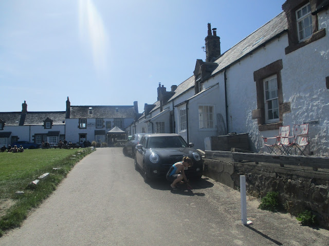
Not far from the hide we passed the square of cottages at Low Newton by the Sea.
The Ship at Low Newton. Pops up frequently in those lists of "Best British Seaside Pubs" in the magazine sections of the heavies. Quite right too.
We walked up the road to High Newton by the Sea, headed for the car park and took the footpath for Embleton. (One post says Emblton, it wasn't me.)
The track starts off well made but then becomes a grassy footpath edging fields of barley until it reaches Embleton. Before heading for the cars we went to Embleton Quarry. Transformed into a nature reserve with apond and several goats it's well worth a visit.
Embleton quarry.
Back at the cars and changed we went to the Dunstanburgh Castle Hotel which had TTL and a beer from Ossett called White Rat. Both excellent thirst quenchers, it had been a hot day.
Contains OS data, copyright. Crown copyright and database right 2025.
the walk is 10.5 easy going miles

