The Referendum Walk........June 24th.
(Lake District)
Yesterday, June 23rd, the UK held a referendum, to decide whether to remain or leave the European Union. The leave vote won by 51.9% to 48.1%. Of the five gadgies out today two voted to leave and three to stay. The leavers thought this should be the "Independence Day Walk" but it isn't, so you can guess how I voted.
There are five of us out today, Brian, John Ha., Dave, Harry and me and we have decided on a good old standby stroll round Watendlath and Dock Tarn in Borrowdale, The Lakes. The start and finish are at Rosthwaite. To get there A69 west, M6 south (or take the scenic route over Hartside), A66 west and at Keswick follow signs for Borrowdale. On the right at Rosthwaite there is a car park run by the National Trust for which one of us has a free parking pass, otherwise the fee is several pounds sterling.
The map to use is OS OL 4 The English Lakes, North West Section and the car park is at GRNY257148. The village hall next door also offers parking for £3 for a day, with an honesty box and a polite sign saying "please park facing wall". The walk was last covered in "The barn at the end of the Lake, April 25th 2014.,
 The National Trust car park in Rosthwaite, prettiest one this year.
A few yards down the lane, opposite a farmhouse is the "Flock Inn", this morning's café, supplying us with tea, coffee, scones and one bacon butty. The café sells souvenir mugs and tea towels, plus frozen meat from Herdwick Sheep.*
 The Flock Inn, great café, lovely people.
Breakfast over we started the walk heading east to the hamlet of Rosthwaite (The name means clearing of the roses), turned left on the road and almost immediately turned right towards Hazel Bank, crossing the Stonethwaite Beck. We stopped on the bridge to admire the clear water and the fish swimming in it.

 Both sides of the bridge, the Stonethwaite Beck.
The footpath starts to climb almost immediately, going in front of the Hazel Bank Hotel, and between Yew Crag and Belt Knott. This part of the walk is probably the steepest, there is a well named Resting Stone about halfway up the hill. Here we met four Yorkshire folk out walking with their dogs. Not sure how I recognised they were from God's acre so quickly!. At the top of the slope we got the first glimpse of Watendlath, prettiest site in the lake district, chocolate box cover.
The farmhouse has a tea shop, it is possible to drive to it from the Borrowdale Valley road, but it is better to walk it. The small lake is home to fish and a variety of water birds.

 The path up from Rosthwite is steep and stony in places.
 The farm and tea shop at Watendlath.
At the lake we turned south, following the arrow and sign that said "Path". The path wanders generally south. In places it is track, in places path and in places a footpath with large flat stones across the boggier bits.
 Looking back at Watendlath.
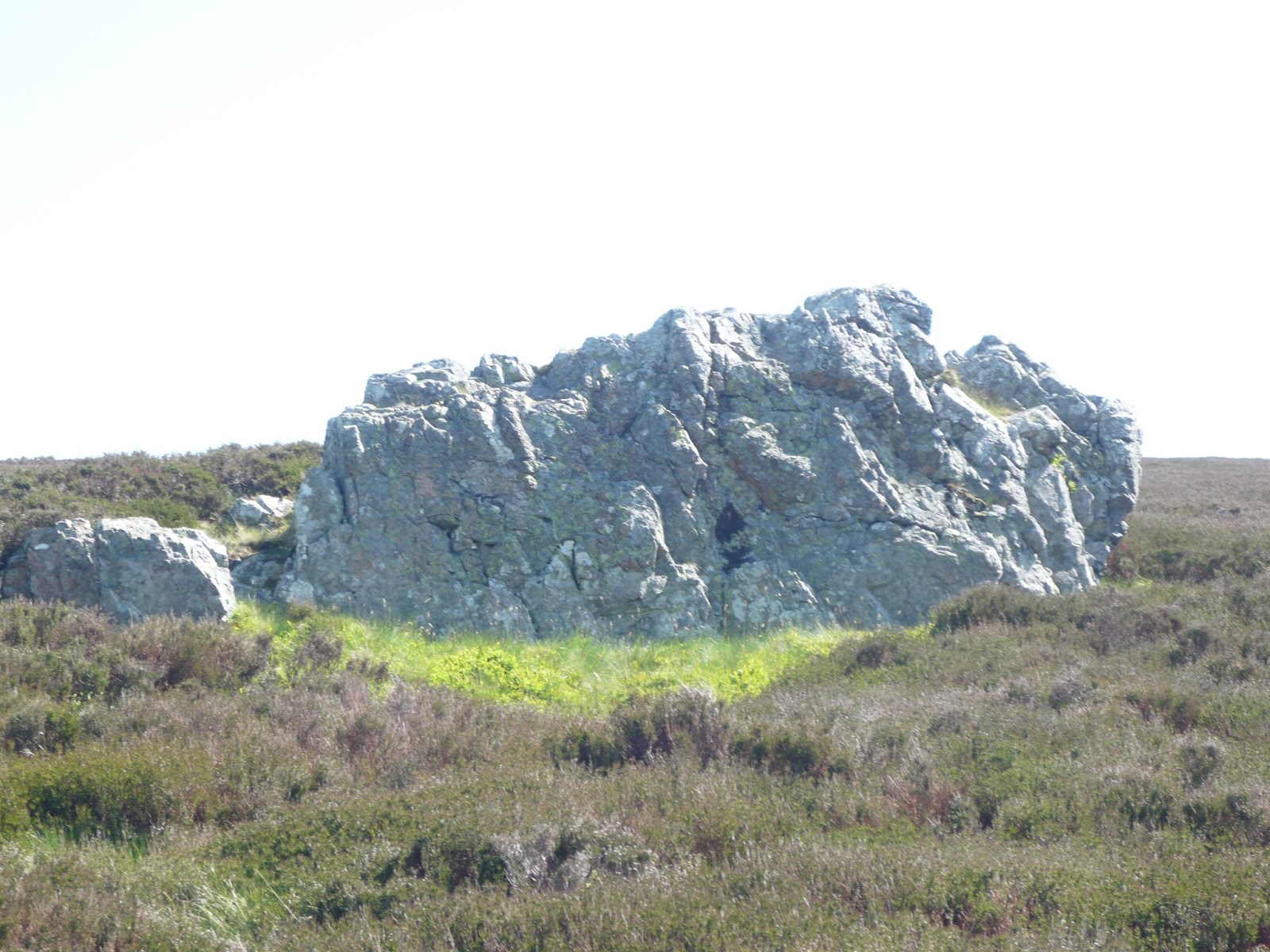
The trail took us over Great Crag before heading down to Dock Tarn. The path here is rocky and needs a little care. At the tarn we called a Herbie Spot, sitting on rocks looking out over the water. The tarn was home to water birds and also had a large patch of water lilies. Being witty and old we sang Lonnie Donegans "My Old Man's a Dustman". "How do you know they're lilies? Cos Lilies wearing them!" My Dustbin's full of toadstools. How do you know it's full? Because there's not mushroom inside"
Having just returned from Ireland Dave was telling us about the basalt columns on the Giant's Causeway. (And the many piles of stones he had seen) They are hexagons somebody suggested, hexagons tessellate. Pentagons don't tessellate said Brian, they isolate.

 Dock Tarn, today's H.S. Ginger biscuits, flapjacks, biscuits and from Mrs A cheese scones.
Break over we continued south west across open land before reaching Ling End. Here the footpath starts a very steep descent through the woods. Most of the path has been paved with large stones but it is tricky, thankfully it was a dry day otherwise it could have been slippy.
 Dave, John Ha. and Brian on one of the level bits before the wood.
 Wonderwall, climbing the hillside
 The footpath down, Harry takes care, and rightly so.
Out of the woods we crossed the Stonethwaite bridge and walked along the road before taking a short cut across a field and emerging on the Borrowdale Valley road. Crossing the road we headed down the lane towards the Youth Hostel at Longthwaite. Crossing the River Derwent we walked along the bank until we reached a set of stepping stones. I'm a bit nervous but as the others crossed I followed and we walked down the lane, past the Flock Inn to the car park.


 I love that; "The sons and daughters of simplicity" It's as bad as Nigel Farage's "Victory for the ordinary people"
Changed we drove as far as the Elks Head hotel in Whitfield for some refreshing Shepherd Neame Spitfire or Allendale Brewery 1757.
The Matrix MMXVI UU
steps miles
LIDL3D 13584 5.9
NAK 19251 7.29!!!!!!!!!!!!!
Dave's USB 13916 6.36
"" NAK 14176 6.48
Etrex 5.8 2 h 42 mins walk 1 h 37 talk
OUTDOOR 5.9
climb 1377 feet
 Contains OS data copyright. Crown copyright and database right 2016
*Herdwicks are the hardy sheep of the fells. "The Shepherd's Life" by James Rebanks is an excellent read detailing the year on a hill farm.


 80% of today's team, especially for Kathy from Goole, Sue in Forest Hall and a lady in Plymouth.
(Lake District)
Yesterday, June 23rd, the UK held a referendum, to decide whether to remain or leave the European Union. The leave vote won by 51.9% to 48.1%. Of the five gadgies out today two voted to leave and three to stay. The leavers thought this should be the "Independence Day Walk" but it isn't, so you can guess how I voted.
There are five of us out today, Brian, John Ha., Dave, Harry and me and we have decided on a good old standby stroll round Watendlath and Dock Tarn in Borrowdale, The Lakes. The start and finish are at Rosthwaite. To get there A69 west, M6 south (or take the scenic route over Hartside), A66 west and at Keswick follow signs for Borrowdale. On the right at Rosthwaite there is a car park run by the National Trust for which one of us has a free parking pass, otherwise the fee is several pounds sterling.
The map to use is OS OL 4 The English Lakes, North West Section and the car park is at GRNY257148. The village hall next door also offers parking for £3 for a day, with an honesty box and a polite sign saying "please park facing wall". The walk was last covered in "The barn at the end of the Lake, April 25th 2014.,

A few yards down the lane, opposite a farmhouse is the "Flock Inn", this morning's café, supplying us with tea, coffee, scones and one bacon butty. The café sells souvenir mugs and tea towels, plus frozen meat from Herdwick Sheep.*

Breakfast over we started the walk heading east to the hamlet of Rosthwaite (The name means clearing of the roses), turned left on the road and almost immediately turned right towards Hazel Bank, crossing the Stonethwaite Beck. We stopped on the bridge to admire the clear water and the fish swimming in it.


The footpath starts to climb almost immediately, going in front of the Hazel Bank Hotel, and between Yew Crag and Belt Knott. This part of the walk is probably the steepest, there is a well named Resting Stone about halfway up the hill. Here we met four Yorkshire folk out walking with their dogs. Not sure how I recognised they were from God's acre so quickly!. At the top of the slope we got the first glimpse of Watendlath, prettiest site in the lake district, chocolate box cover.
The farmhouse has a tea shop, it is possible to drive to it from the Borrowdale Valley road, but it is better to walk it. The small lake is home to fish and a variety of water birds.


At the lake we turned south, following the arrow and sign that said "Path". The path wanders generally south. In places it is track, in places path and in places a footpath with large flat stones across the boggier bits.

The trail took us over Great Crag before heading down to Dock Tarn. The path here is rocky and needs a little care. At the tarn we called a Herbie Spot, sitting on rocks looking out over the water. The tarn was home to water birds and also had a large patch of water lilies. Being witty and old we sang Lonnie Donegans "My Old Man's a Dustman". "How do you know they're lilies? Cos Lilies wearing them!" My Dustbin's full of toadstools. How do you know it's full? Because there's not mushroom inside"
Having just returned from Ireland Dave was telling us about the basalt columns on the Giant's Causeway. (And the many piles of stones he had seen) They are hexagons somebody suggested, hexagons tessellate. Pentagons don't tessellate said Brian, they isolate.


Break over we continued south west across open land before reaching Ling End. Here the footpath starts a very steep descent through the woods. Most of the path has been paved with large stones but it is tricky, thankfully it was a dry day otherwise it could have been slippy.


Out of the woods we crossed the Stonethwaite bridge and walked along the road before taking a short cut across a field and emerging on the Borrowdale Valley road. Crossing the road we headed down the lane towards the Youth Hostel at Longthwaite. Crossing the River Derwent we walked along the bank until we reached a set of stepping stones. I'm a bit nervous but as the others crossed I followed and we walked down the lane, past the Flock Inn to the car park.


Changed we drove as far as the Elks Head hotel in Whitfield for some refreshing Shepherd Neame Spitfire or Allendale Brewery 1757.
The Matrix MMXVI UU
steps miles
LIDL3D 13584 5.9
NAK 19251 7.29!!!!!!!!!!!!!
Dave's USB 13916 6.36
"" NAK 14176 6.48
Etrex 5.8 2 h 42 mins walk 1 h 37 talk
OUTDOOR 5.9
climb 1377 feet

*Herdwicks are the hardy sheep of the fells. "The Shepherd's Life" by James Rebanks is an excellent read detailing the year on a hill farm.


